Volney, C. F.
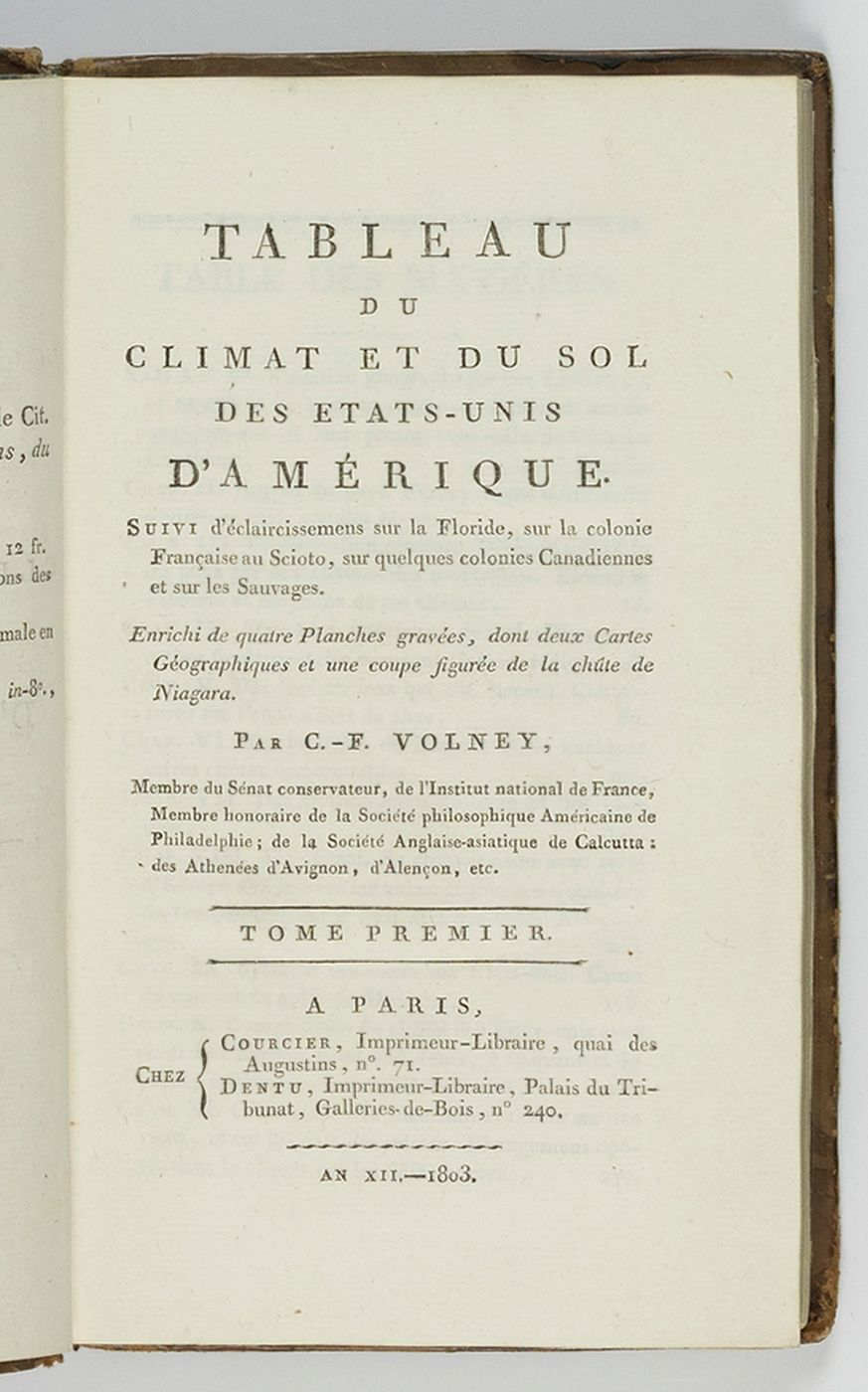
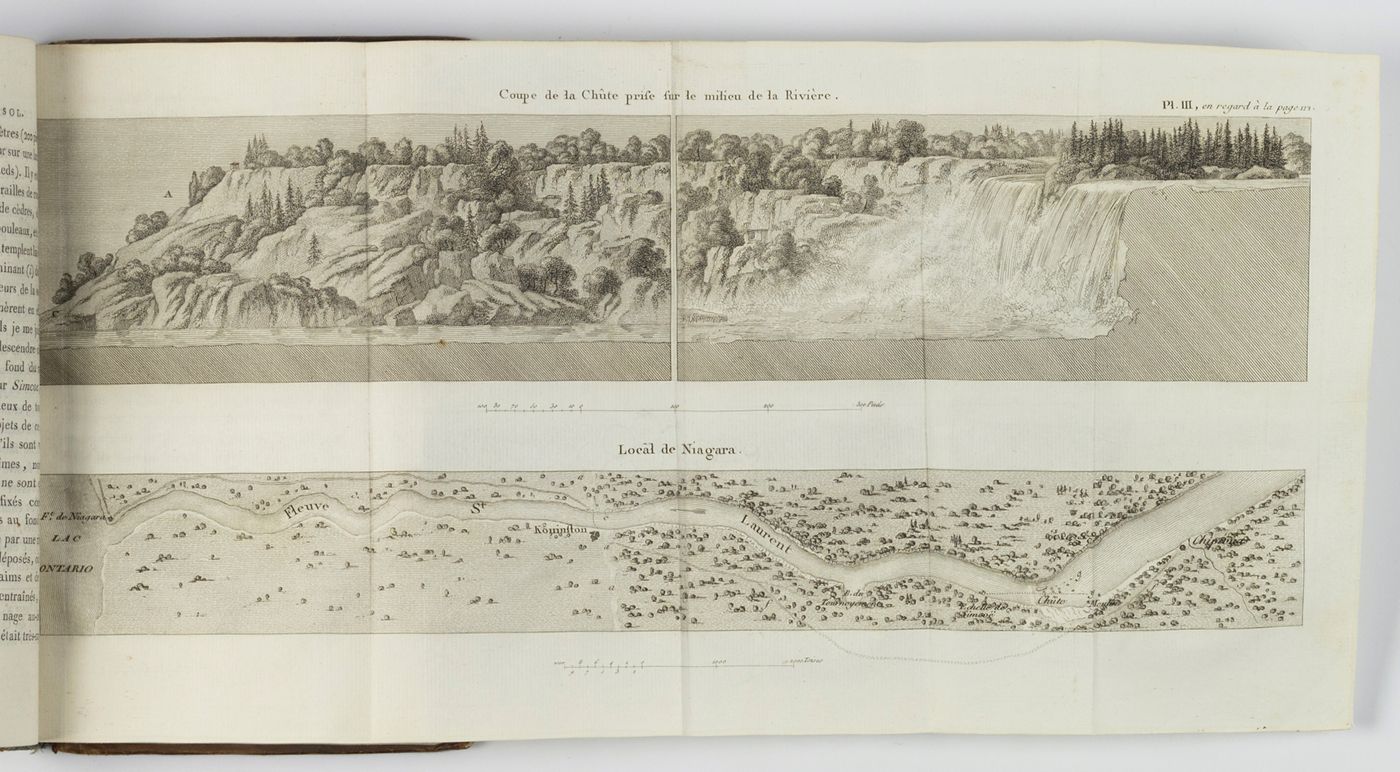
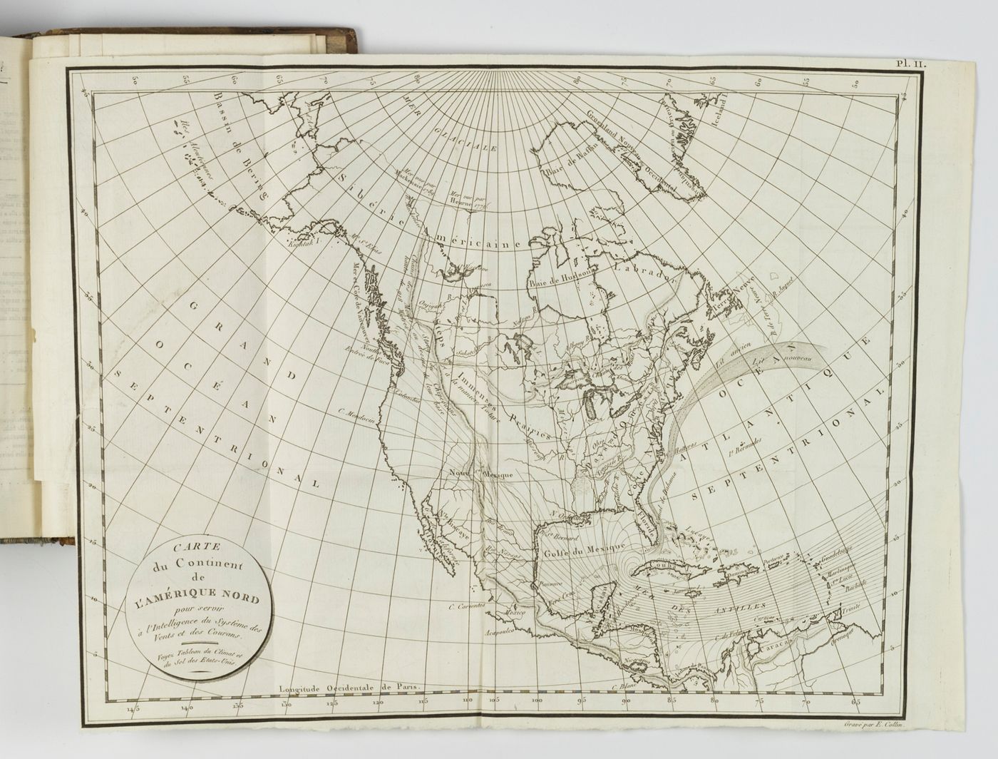
Tableau du climat et du sol des Etats-Unis d'Amérique suivi d'éclaircissemens sur la Floride, sur la colonie Française au Scioto, sur quelques colonies Canadiennes et sur les sauvages. Enrichi de quatre planches gravées, dont deux cartes géographiques et une coupe figurée de la chûte de Niagara.
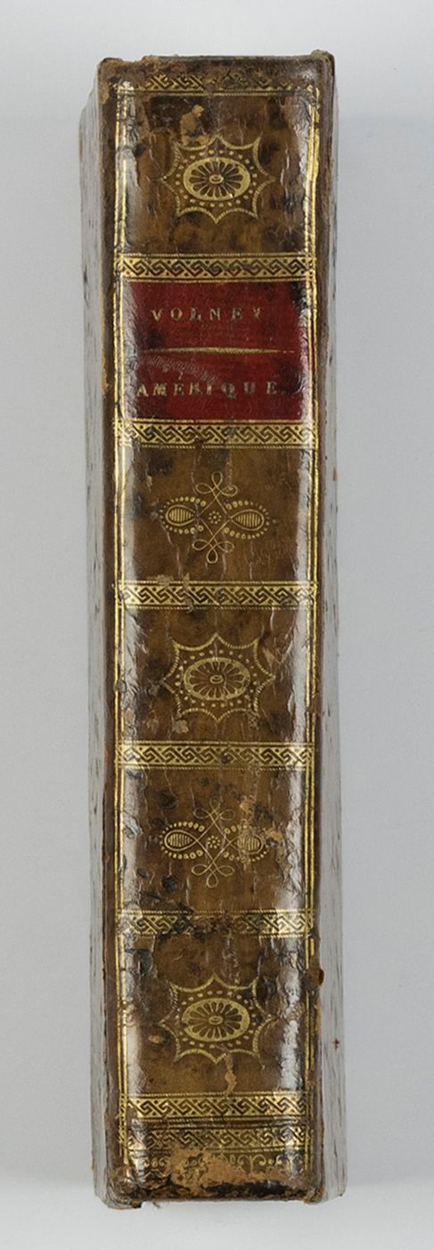
Paris, Courcier et Dentu, 1803. Two volumes in one. 8vo (19.6 x 12.2 cm). Two half-titles, two title pages, [iv], xvi, 532 pp. (pagination is continuous); two engraved folding maps, two folding engraved plates. Contemporary full mottled calf. Spine with gilt vignettes and ornamental borders in Empire style, and red morocco label with gilt title. Marbled endpapers.
Rare first edition. One of the first books to treat North American climate, soils and geology. Especially renowned because it contains the first geological map of North America. The early, large view and map of the Niagara Falls is of special interest. Constantin François de Chassebœuf, comte de Volney (1757-1820) was a French philosopher, abolitionist, historian, orientalist and politician. "In 1795 he undertook a journey to the United States - where he was accused (1797) by John Adams' administration of being a French spy sent to prepare for the reoccupation of Louisiana by France - and then to the West Indies. Consequently, he returned to France. The results of his travels took form in his Tableau du climat et du sol des États-Unis (1803)" (Wikipedia). In the rear is an interesting vocabulary of what the author calls "Langue des Miamis", translated into French. Hinges a bit worn; two small repairs on a map. In all, a very good, clean, unmarked copy. DSB 14, pp. 68-69; Sabin, 100692.


