[Napoleon Bonaparte]
Atlas des campagnes de 1805, 1806 et 7, 1809.
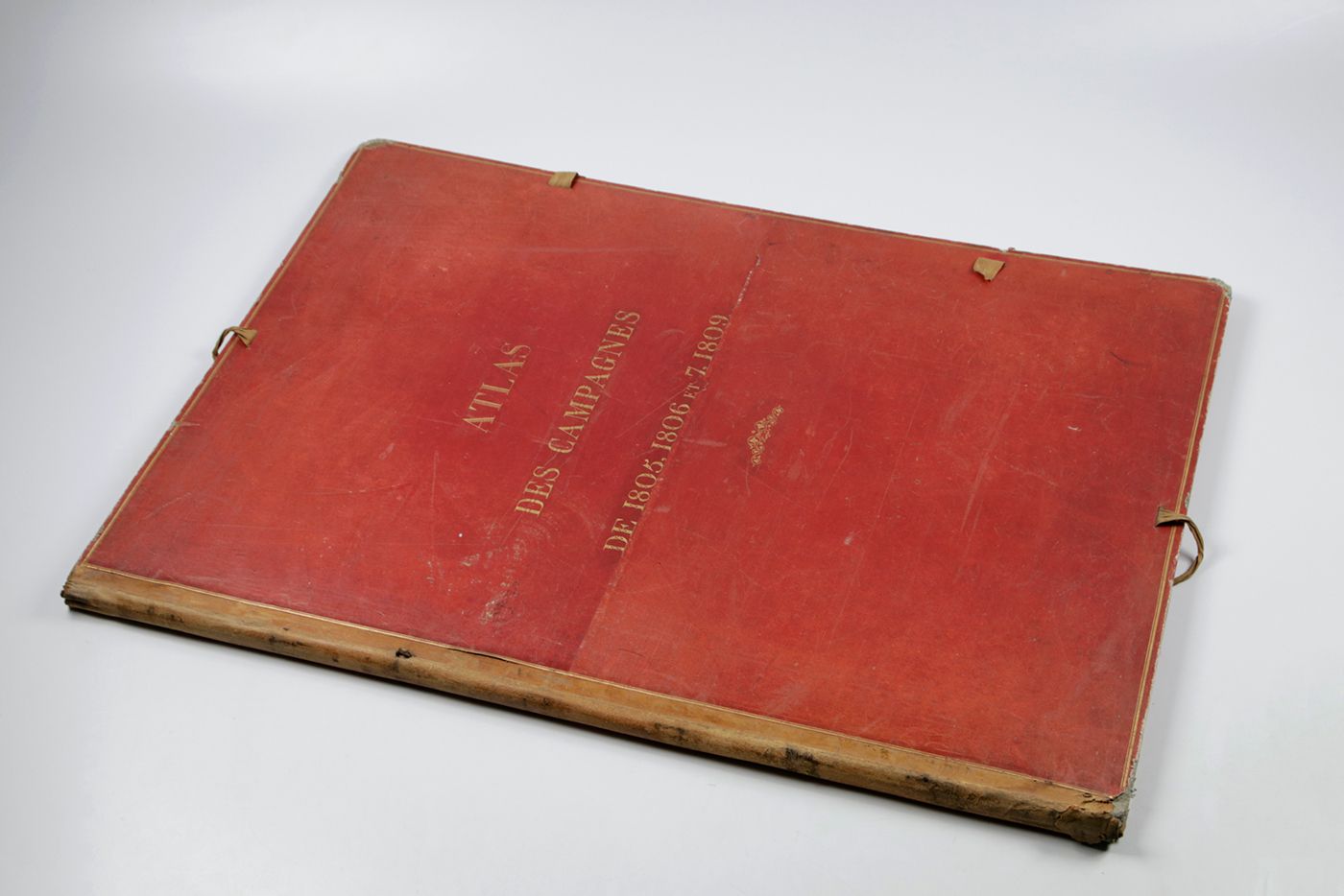
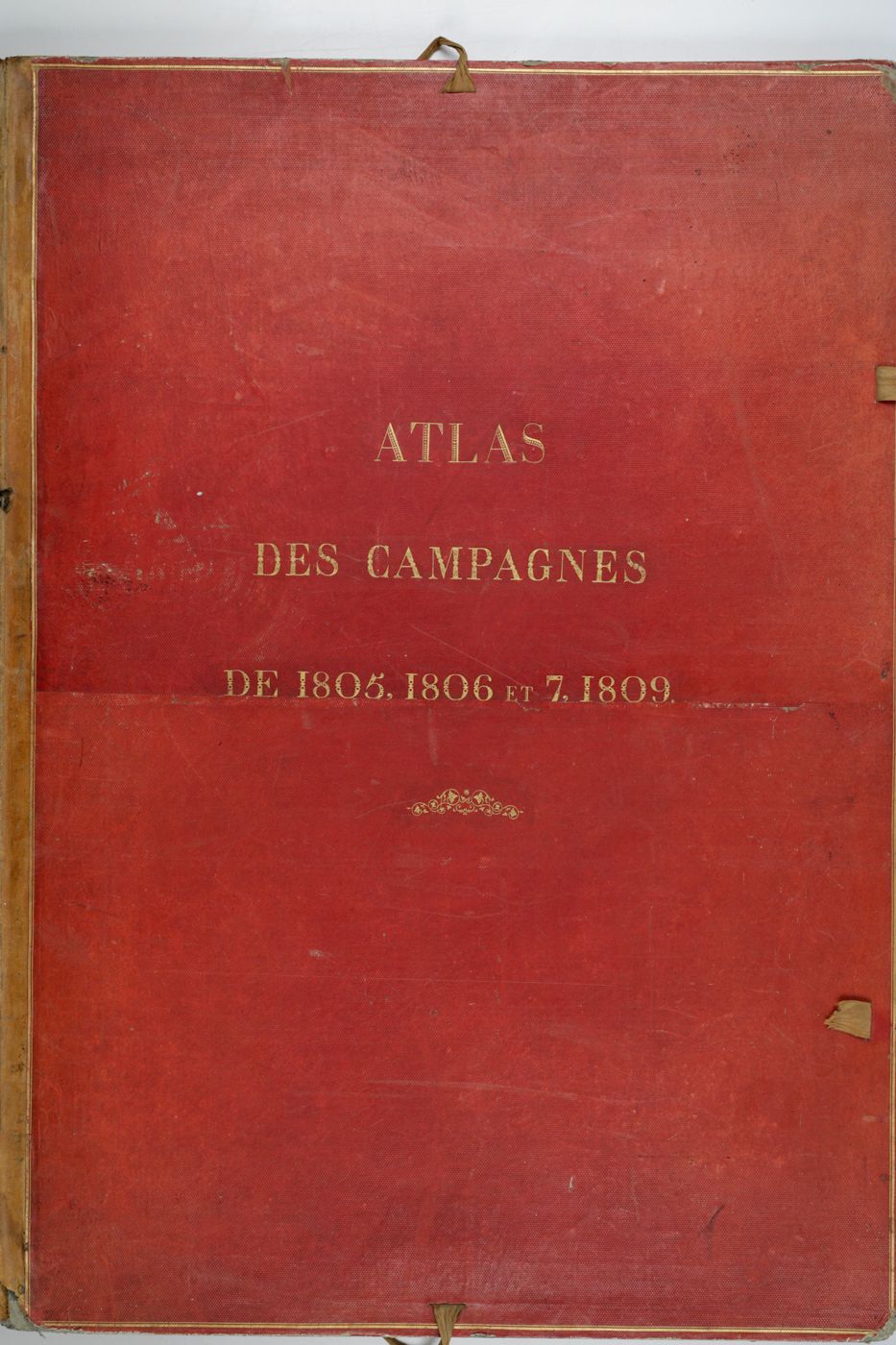
Paris, Ministère de la Guerre, 1841. Printed contents sheet, titled, "Table des cartes et plans des campagnes de 1805, 1806 et [180]7, 1809"; 17 very large broadsheet maps (between 114.7 x 83.8 cm and 104.5 x 71.5 cm, including ample margins), and an additional double-folded map, partly in original hand-colouring. In one original red grained morocco portfolio with gilt title on the front board.
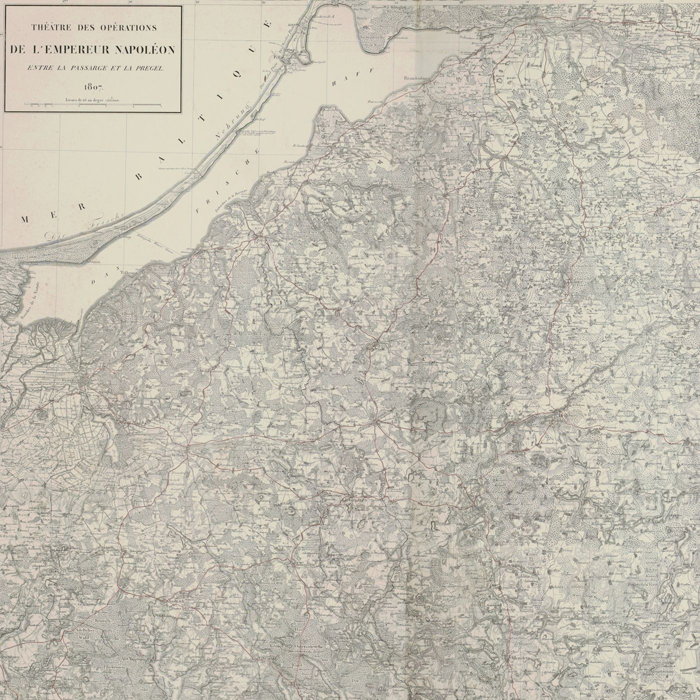
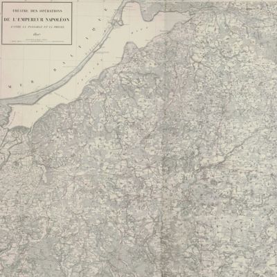
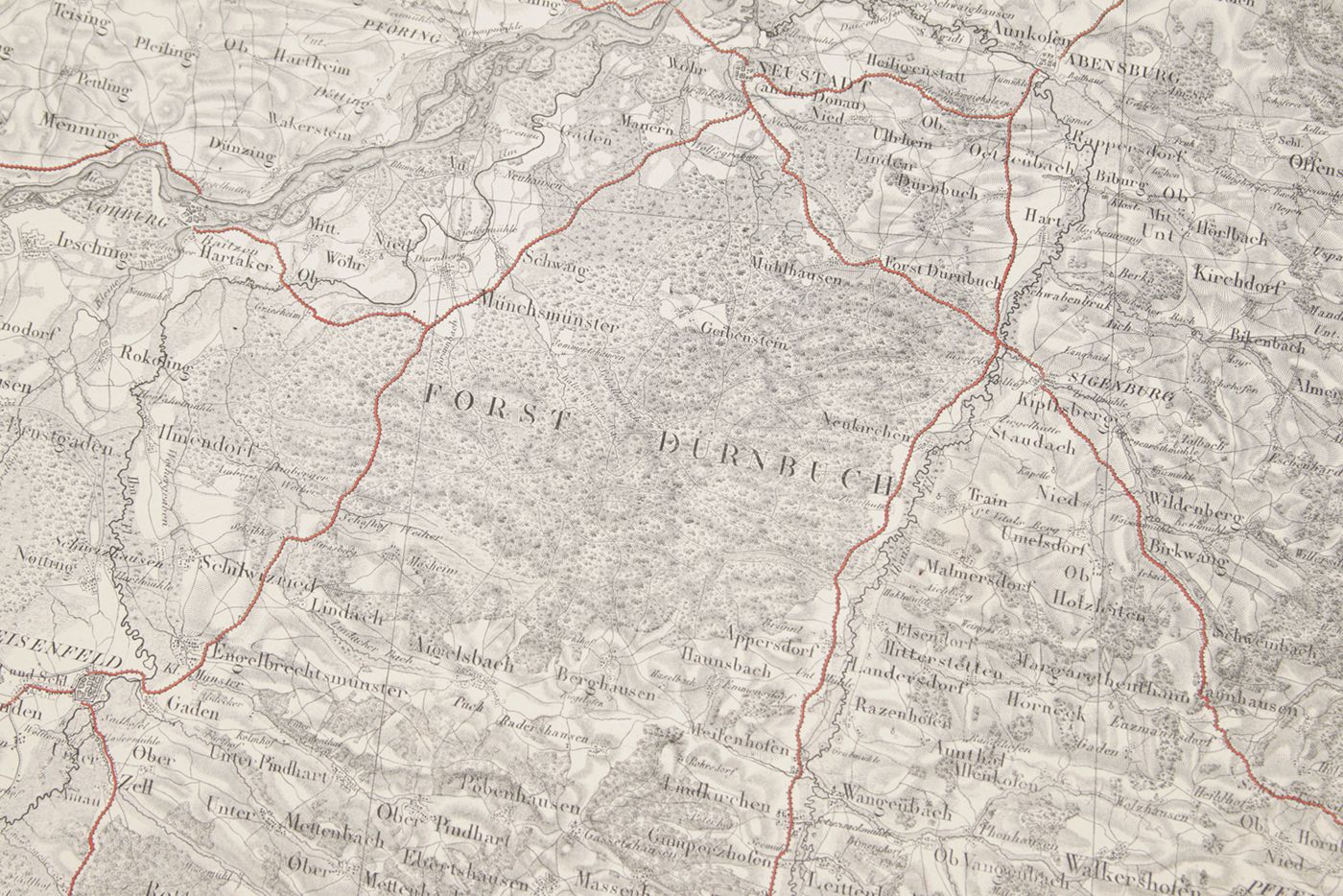
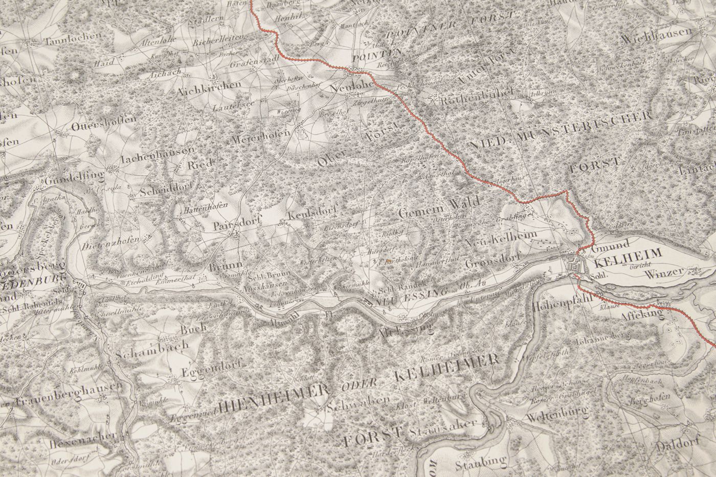
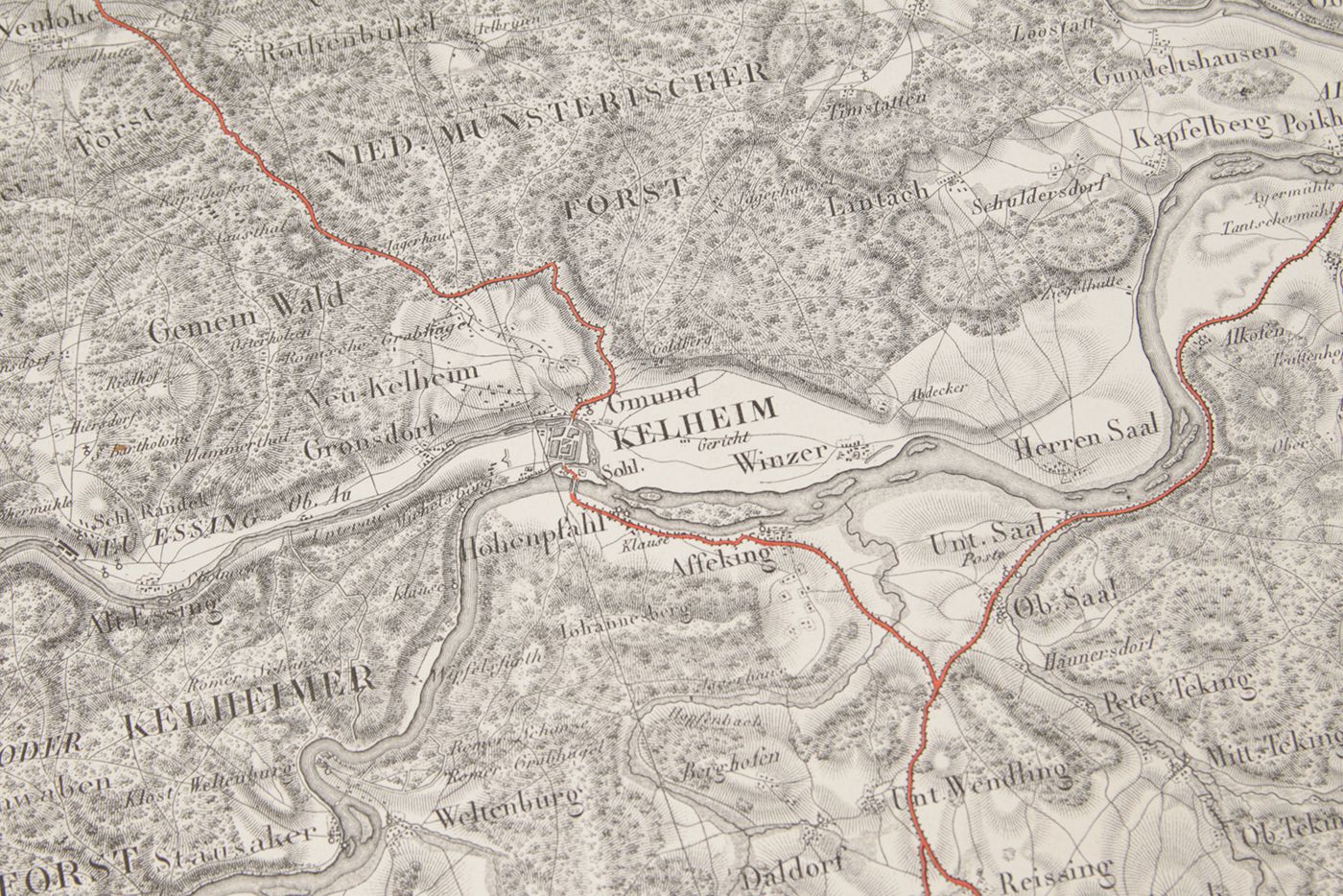
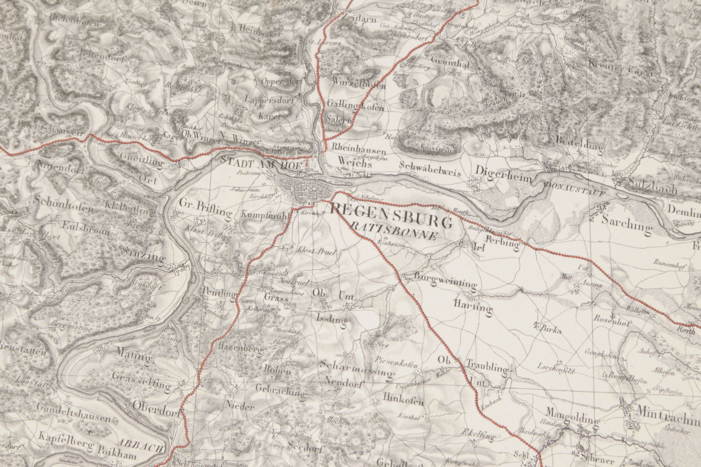
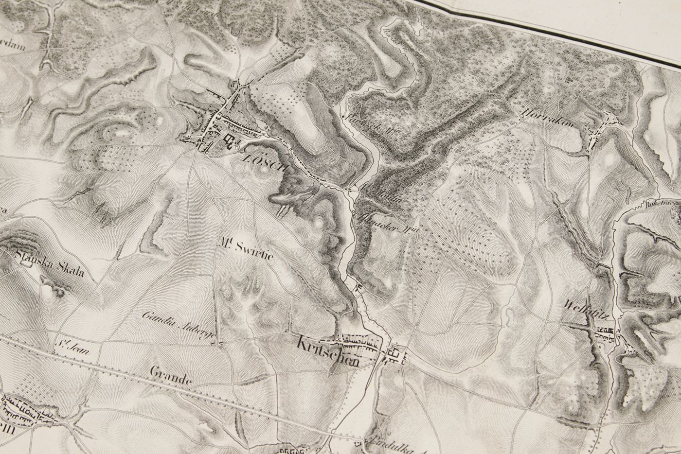
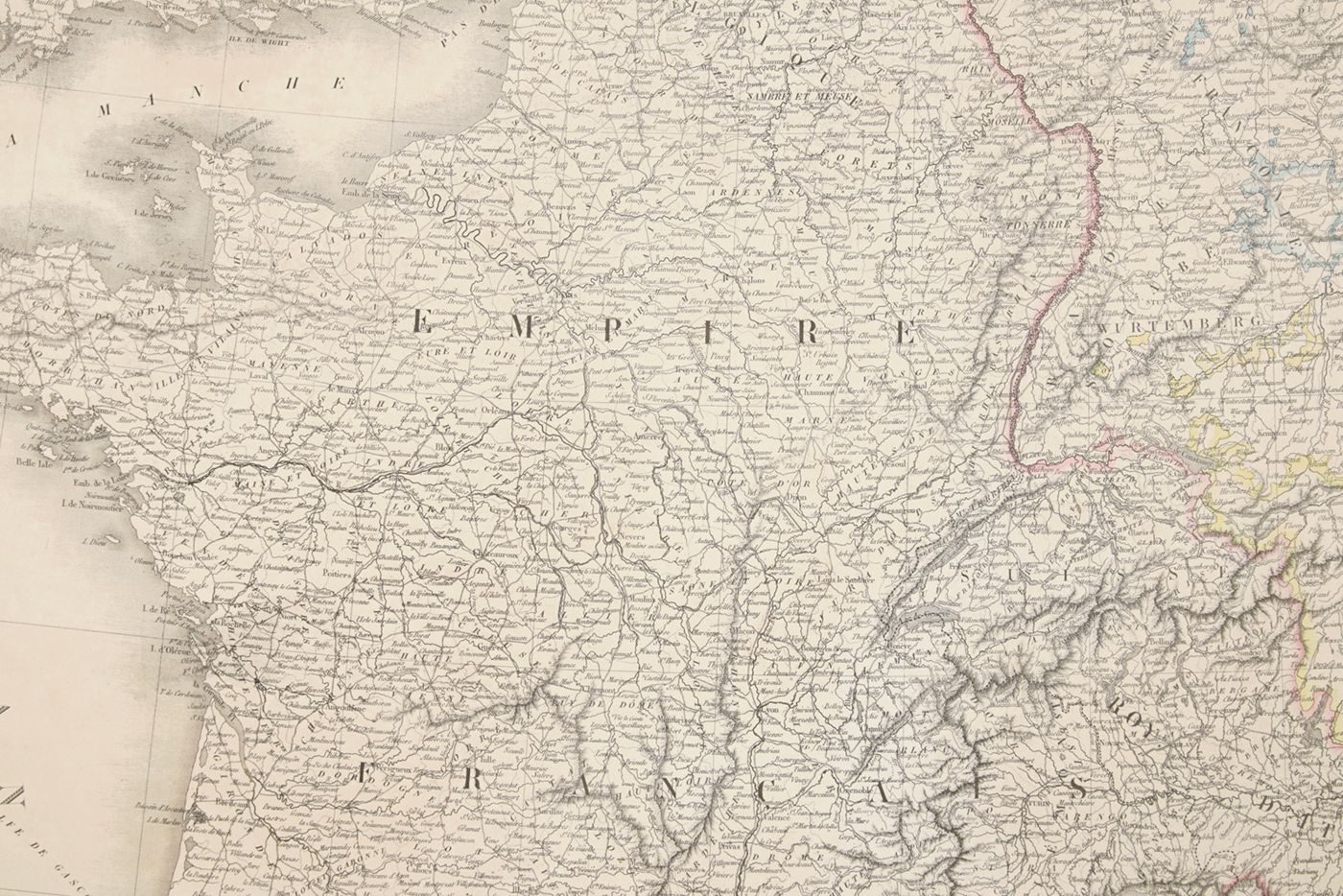
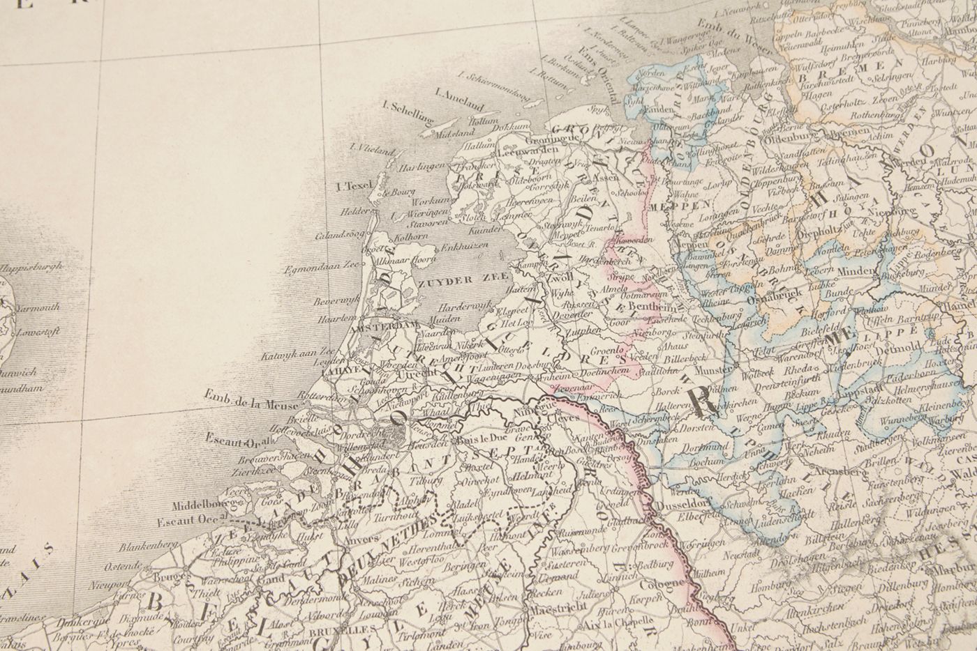
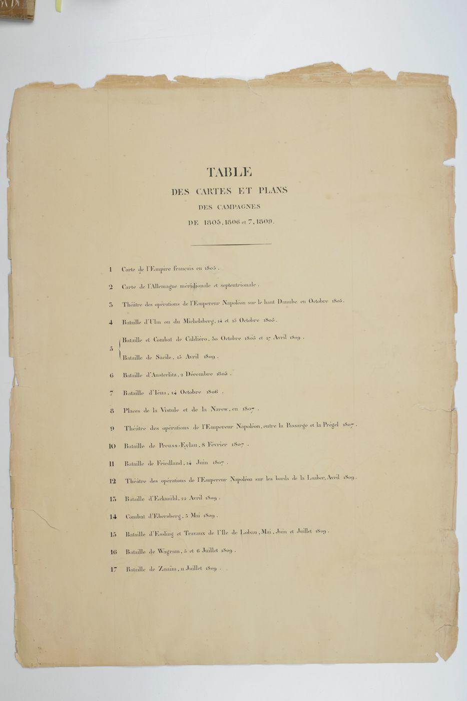
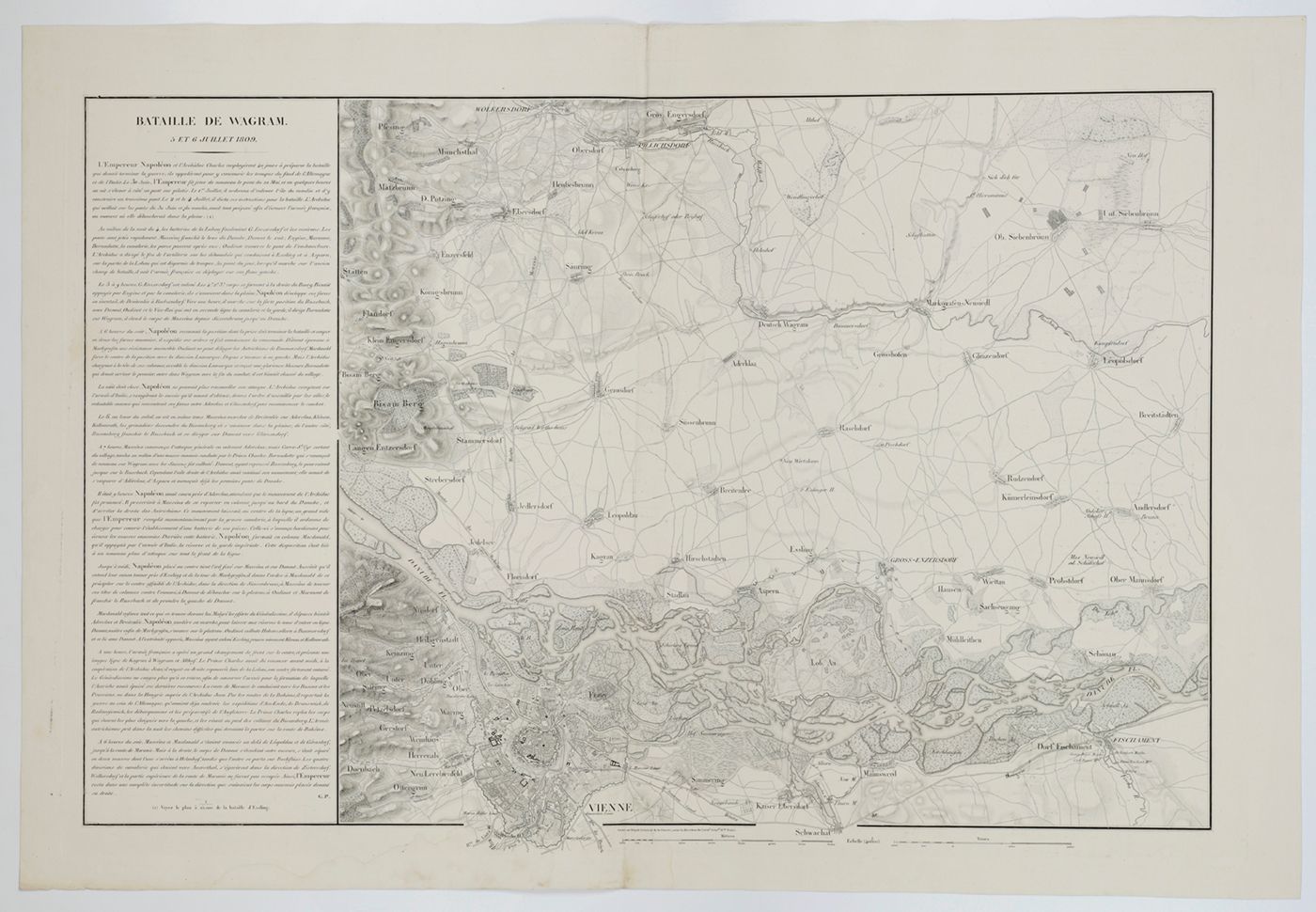
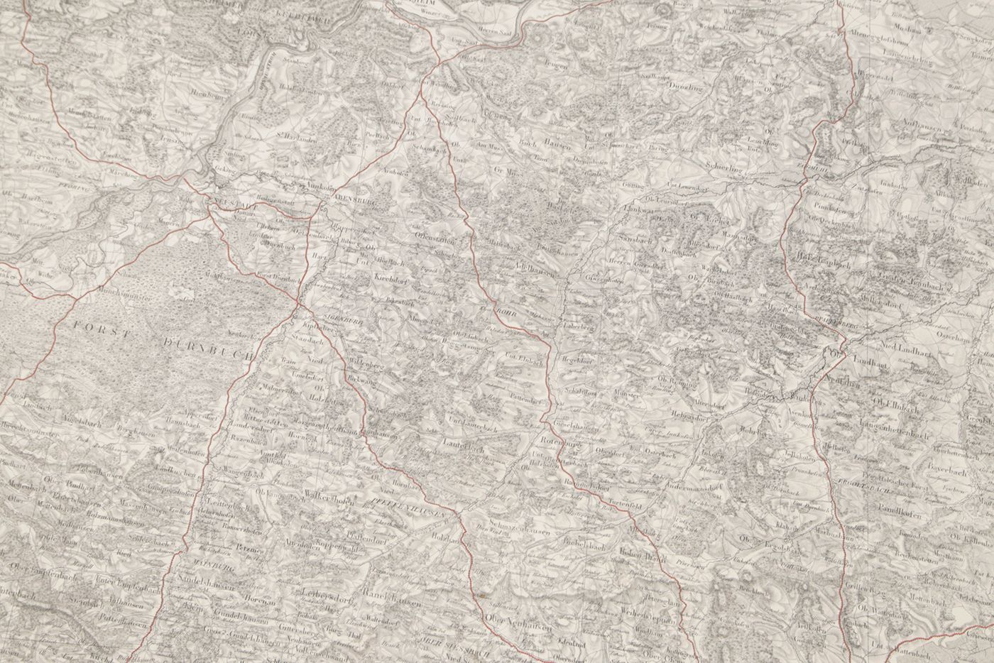
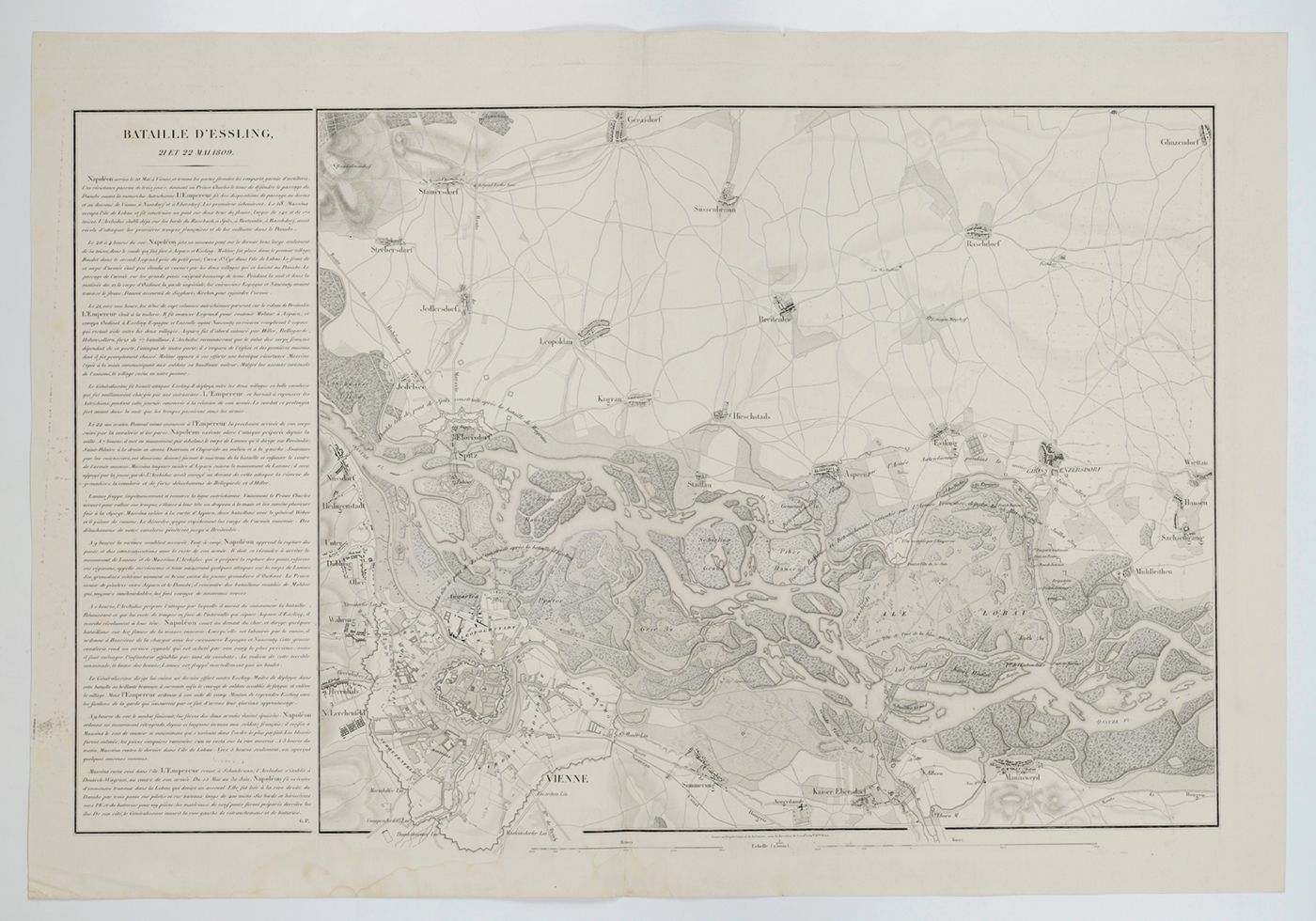
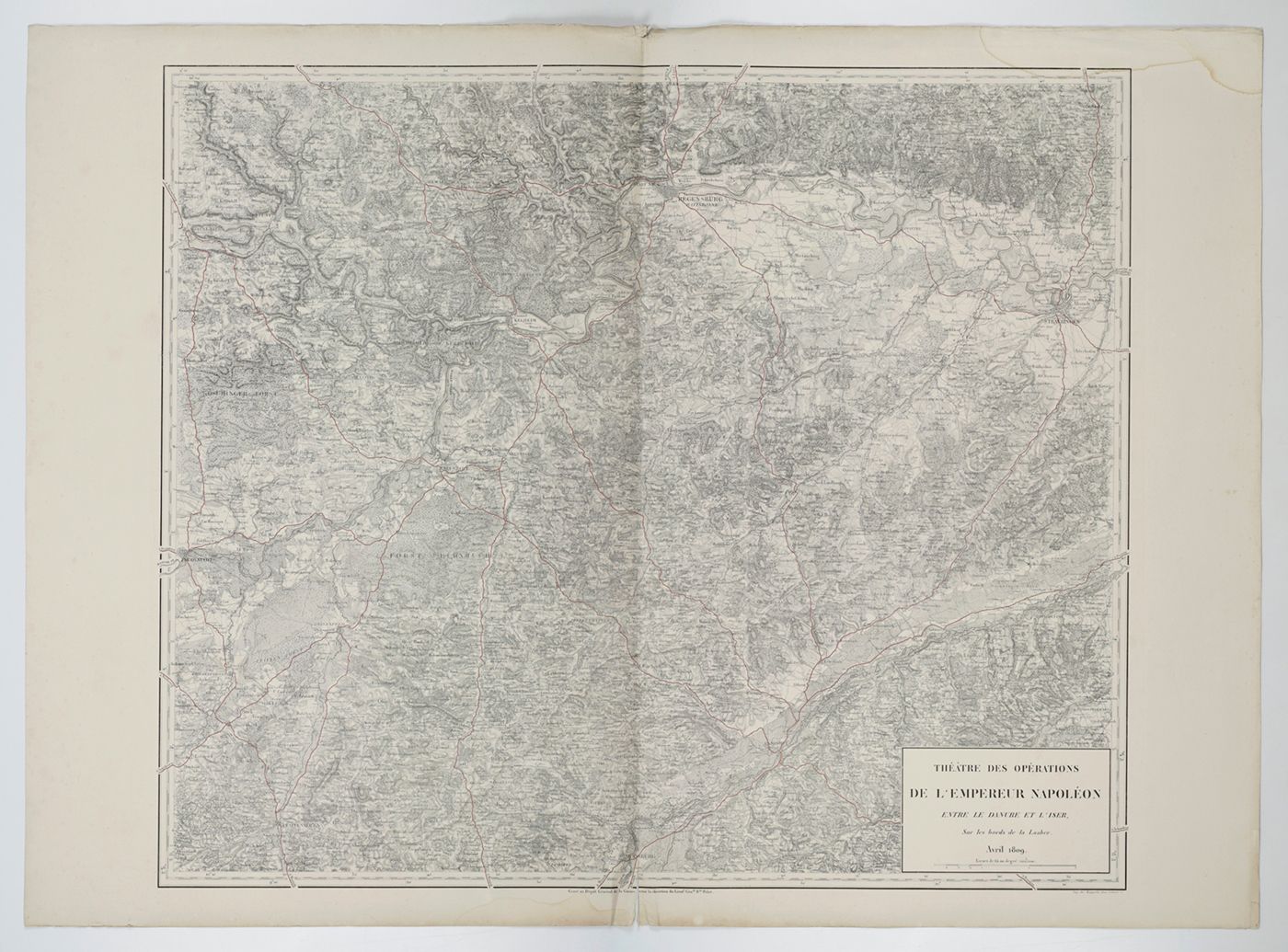
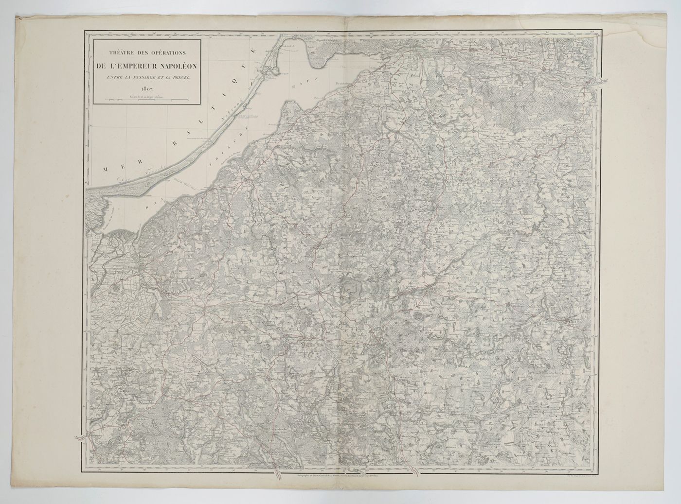
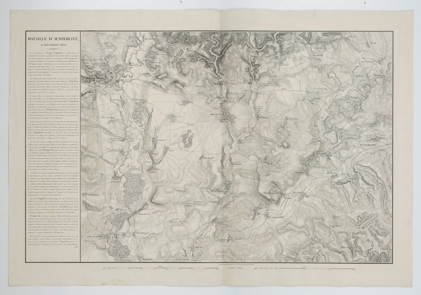
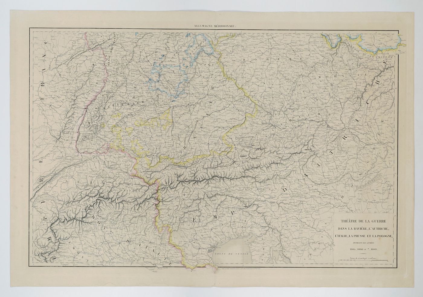
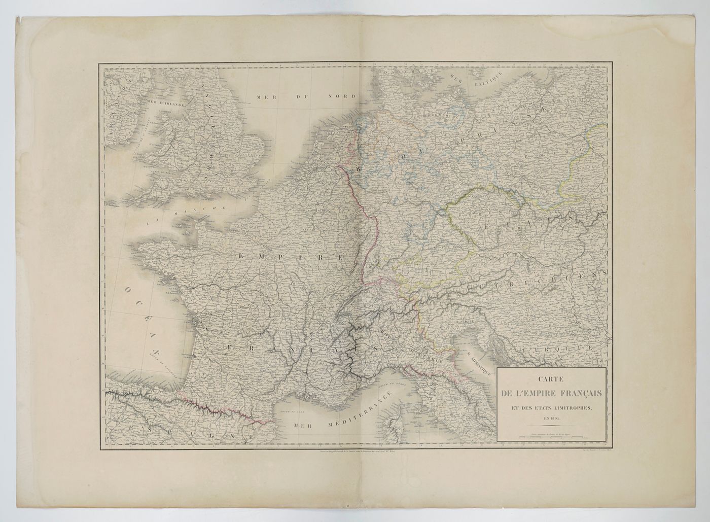
This geostrategical publication consists of 17 very large, detailed maps, described in the Table, and an 18th map which is related, but apparently published slightly later. The maps cover a period during which Napolean was expanding his empire aggressively, except for the year 1808, when all was quiet on all fronts. Although sometimes dated as published in 1844, first mention of these maps, as printed and published, is in 1841. The 17 maps are titled as follows: 1. Carte de l'Empire Français en 1805; 2. Carte de l'Allemagne méridionale et septemtrionale; 3. Théâtre des opérations de l'Empereur Napoléon sur le haut Danube en Octobre 1805; 4. Bataille d'Ulm ou du Michelsberg, 14 et 15 Octobre 1804; 5. Bataille et combat de Caldiéro, 30 Octobre 1805 et 27 Avril 1809 [WITH] Bataille de Sacile, 15 Avril 1809; 6. Bataille d'Austerlitz, 2 Décembre 1805; 7. Bataille de Iéna, 14 Octobre 1806; 8. Places de la Vistula et de la Narew, en 1807; 9. Théâtre des opérations de l'Empereur Napoléon, entre la Passarge et la Prégel 1807; 10. Bataille de Preuss-Eylan, 8 Février 1807; 11. Bataille de Friedland, 14 Juin 1807; 12. Théâtre des opérations de l'Empereur Napoléon sur les bords de la Laaber, Avril 1809; 13. Bataille d'Eckmühl, 22 Avril 1809; 14. Combat d'Ebersberg, 3 Mai 1809; 15. Bataille d'Essling et Travaux de l'ile de Lobau, Mai, Juin et Juillet 1809; 16. Bataille de Wagram, 5 et 6 Juillet 1809; 17. Bataille de Znaïm, 11 Juillet 1809. To this has been added an 18th, extremely large, double-folded, partially hand-coloured map, titled Allemagne Septentrionale (142.5 x 70.5 cm), showing a region from the Netherlands well into modern Poland, and parts of Denmark, Belgium, France, Switzerland, and Austria. This unlisted map appears to be included more often. Several margins creased or soiled, a few short, marginal tears; the vertical folds often a bit skewed; the portfolio a bit worn; otherwise very good. Rare. Boulanger, P. (2023) l'Invention de la Géostratégie, p. 16).


