Anville, [J. B. B.] d'
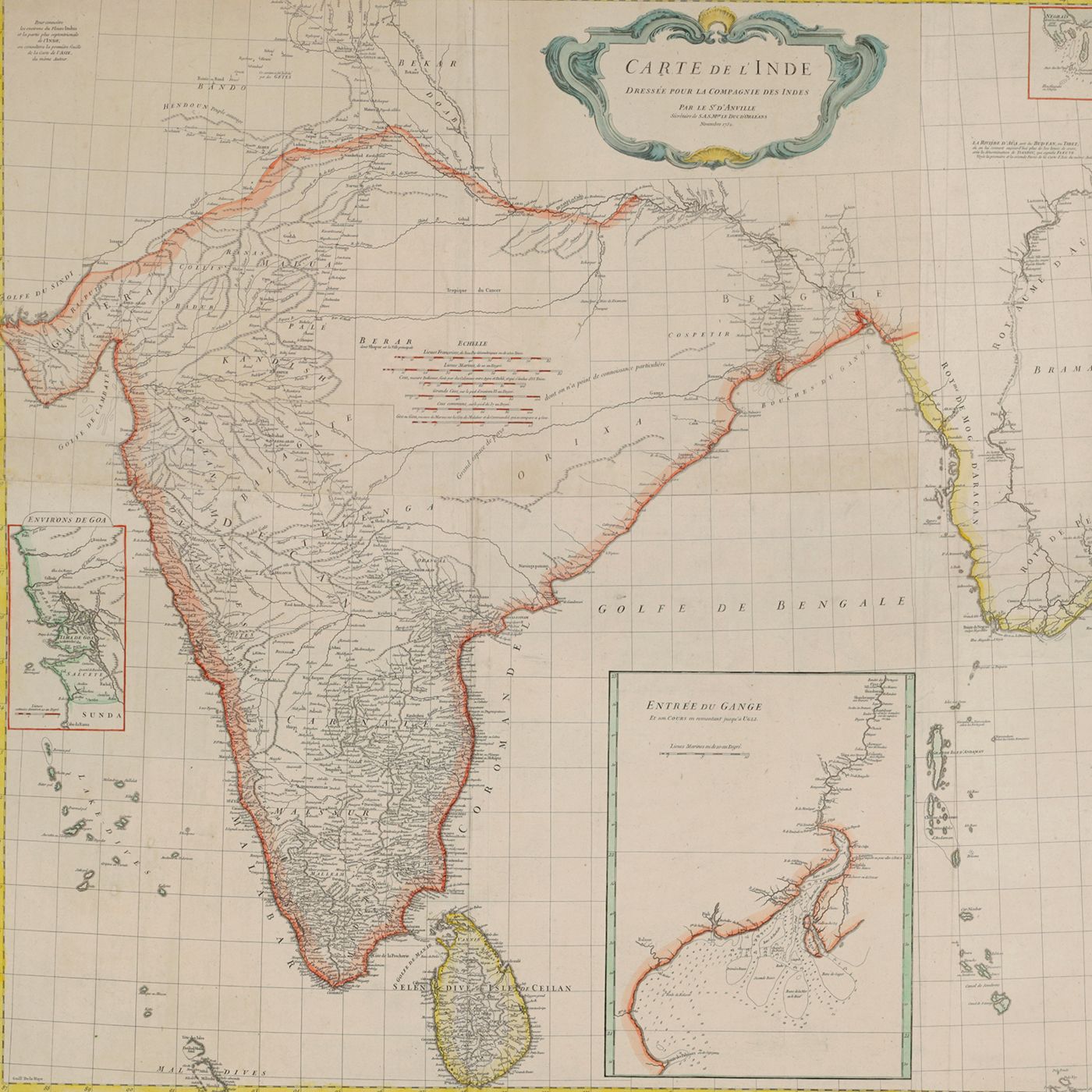
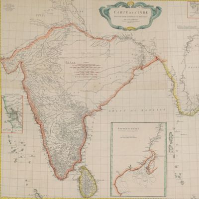
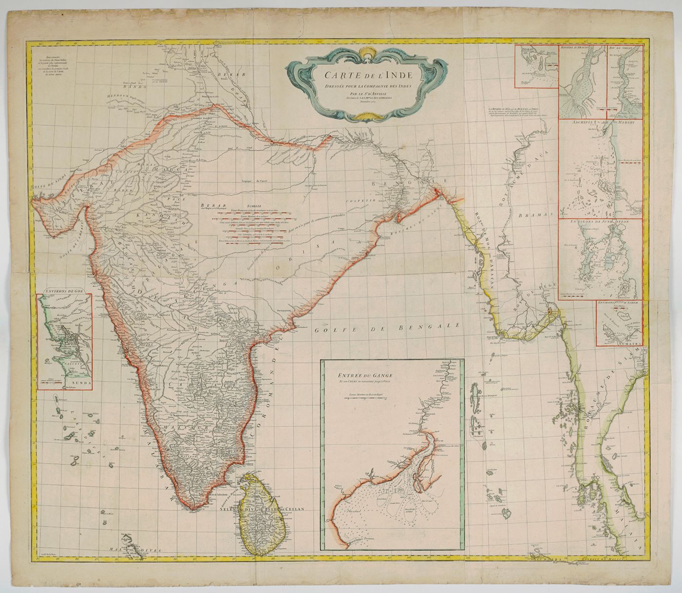
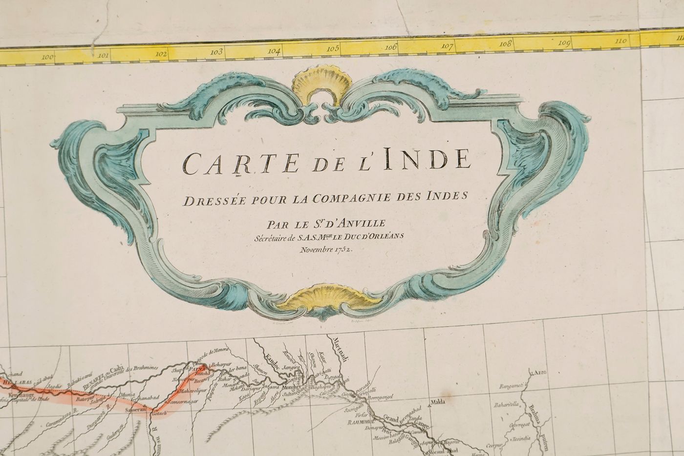
Carte de l'Inde. Dressée pour la Compagnie des Indies par le Sr. d'Anville, Secretaire de S.A.S. Mgr. le Duc d'Orléans. Paris, Novembre 1752.
Paris, Compagnie des Indes, 1752. Oblong broadsheet (97.2 x 111.5 cm), printed engraving with additional, contemporary hand-colouring (printed surface 87.8 x 104.5 cm).
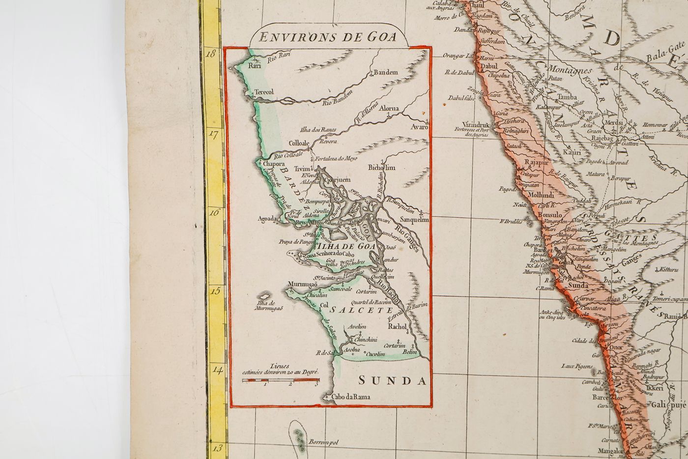
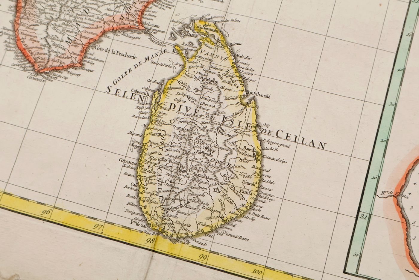
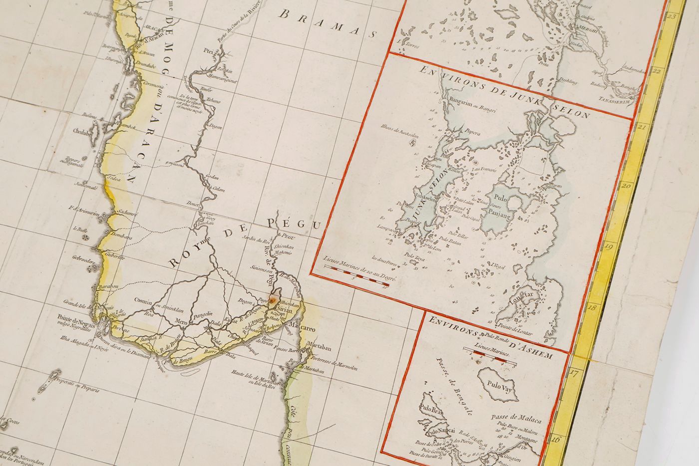
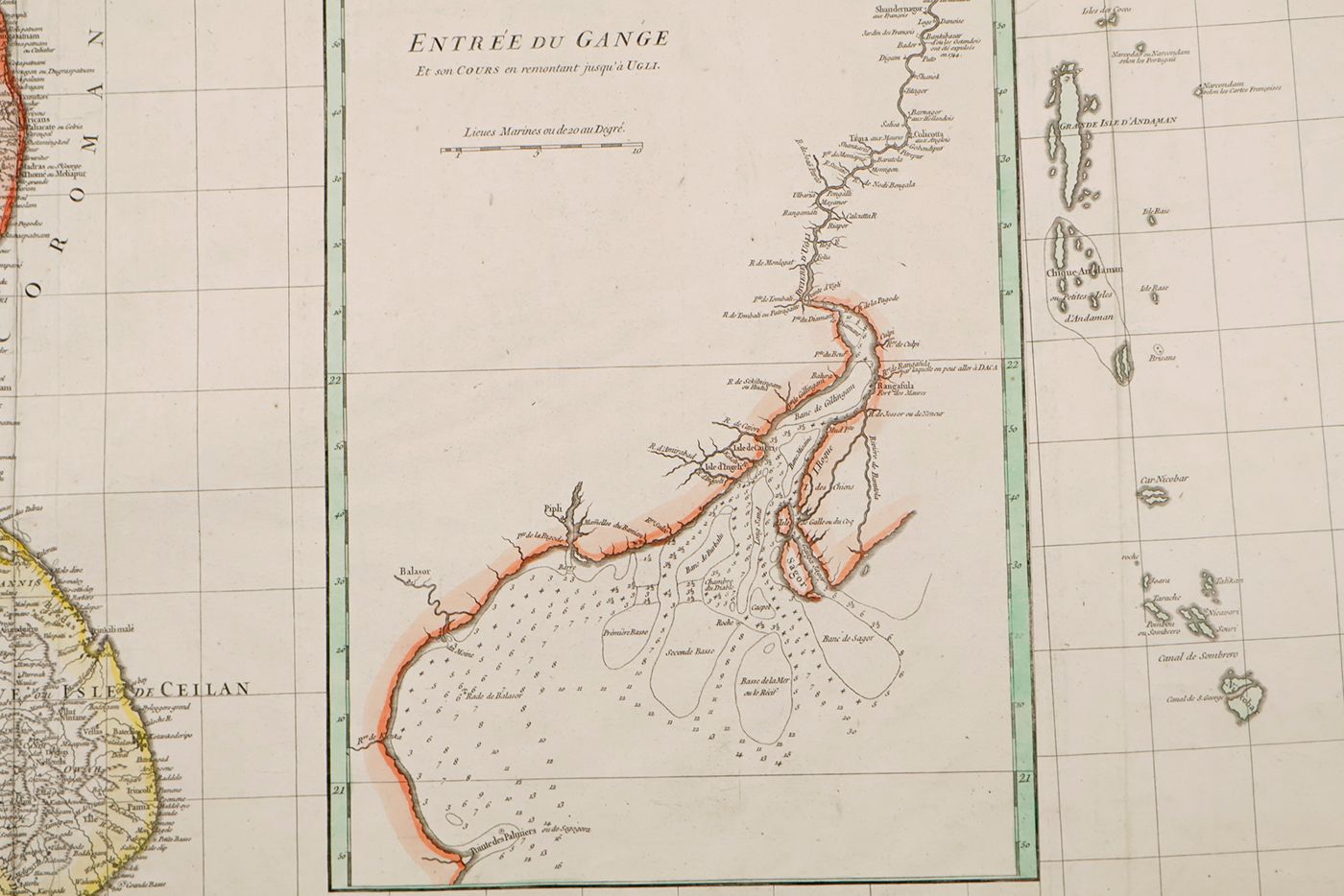
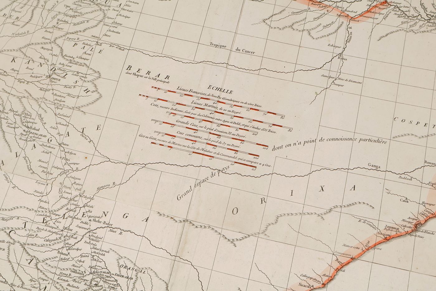
An unusually large, early map of the Indian subcontinent and adjacent parts of Asia and the Indian Ocean. Made by the French cartographer Jean Baptiste Bourguignon d'Anville (1697-1782), for the French East India Company. The map was designed by the French engraver Hubert-François Bourguignon, commonly known as Gravelot (1699-1773), and engraved by De Lafosse (perhaps the engraver and (later) architect Jean-Charles Delafosse [1734-1791]). Eight smaller maps (insets) show, in more detail, parts of special interest, e.g., the town of Goa, the mouth of the Ganges (with soundings), and the Strait of Malacca, near Banda Aceh (on the edge the area covered by the large map of India itself). Much of the interior of India, in particular a triangle south of the Ganges, extending to the mouth of the Krisha River, was still unknown. D'Anville opposed the inclusion of unverified facts, and left this area almost entirely blank. Printed on two sheets; the sheets assembled neatly. Some restorations. Three weak, old folds; outer margins a bit soiled, with minimal fraying and a few very short tears, otherwise very good. Complete, coloured copies of this map are very uncommon, if not rare - we found no other copies on the internet. Not in Brunet.


