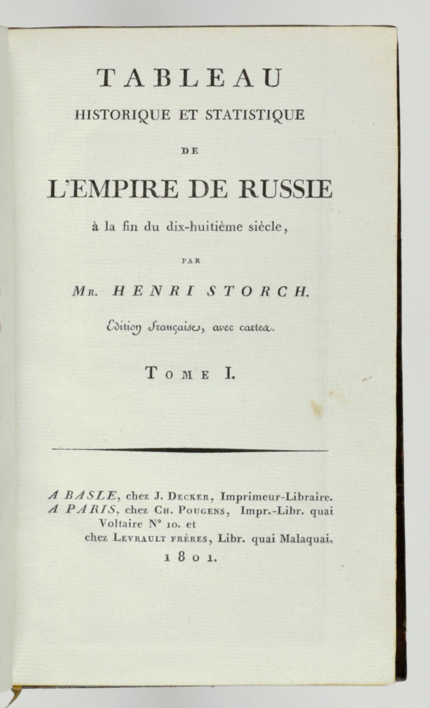
Storch, H.
Tableau historique et statistique de l'empire de Russie à fin du dix-huitième siècle. Edition française.
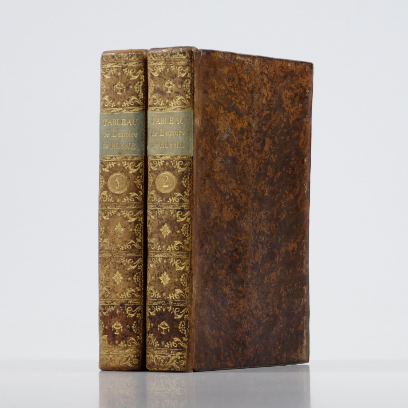
Basle, J. Decker, and Paris, C. Pougens, 1801. Two volumes in two. 8vo (19.6 x12.3 cm). 1,004 pp. [xxii, 407, 80; 423, 72]; two large, partly coloured folded maps (the largest with printed dimensions 67 x 36.5 cm), three folded tables. Uniform contemporary tree-calf. Spines rich gilt with gilt title on blue morocco label. Marbled endpapers. Edges yellow, speckled with red.
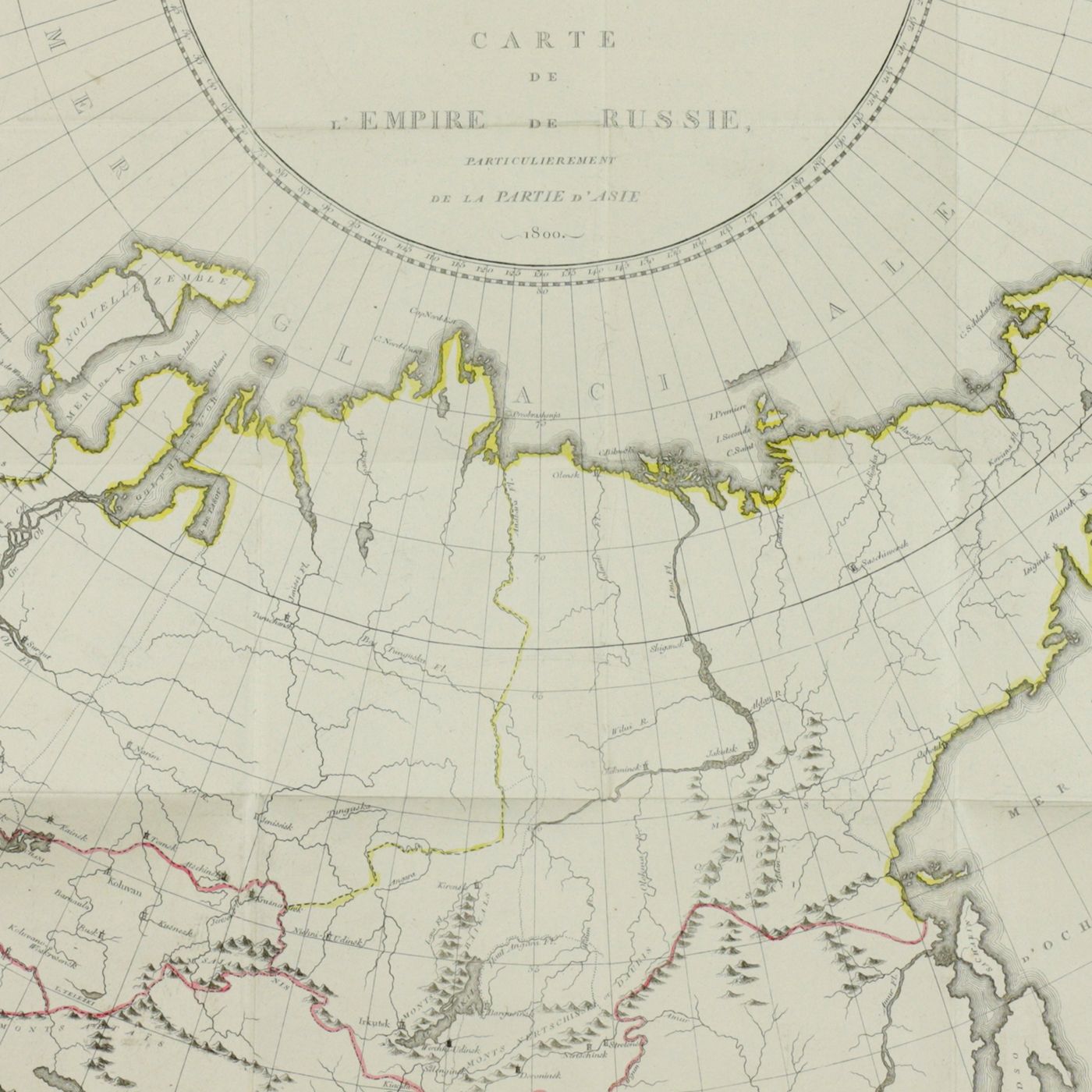
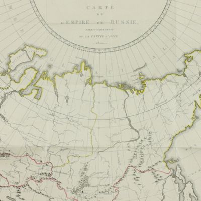
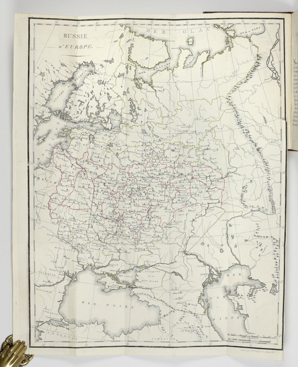
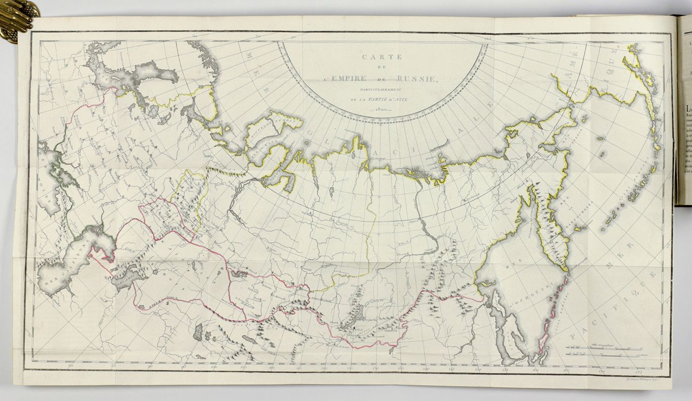
Contains a great deal of information on the economy and demography of late 18th-century Russia. One map shows Russia west of the Ural, the other the whole country, including Siberia, in 1800. This map is reminiscent of that in the work of Pallas. Copies with both maps on Rusia are very rare. A German edition was published simultaneously but is very rare too; there are no recent auction records. Provenance: His Royal Highness Herzog Carl Theodor von Bayern, who, apparently, preferred this edition over the German one. A 'mappe monde', sporadically found in this work, is not included. Slight rubbing to the boards, short tear in the inner margin of the folded maps, otherwise a very good, clean set. Rare. Not in Brunet.


