Zannoni, R.
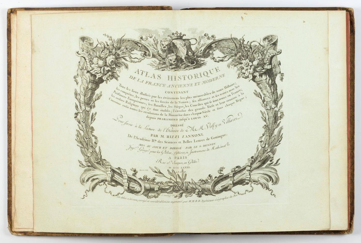
Atlas historique de la France ancienne et moderne contenant tous les lieux illustrés par les événements les plus mémorables de notre histoire; ... depuis Pharamond jusqu'a Louis XV....
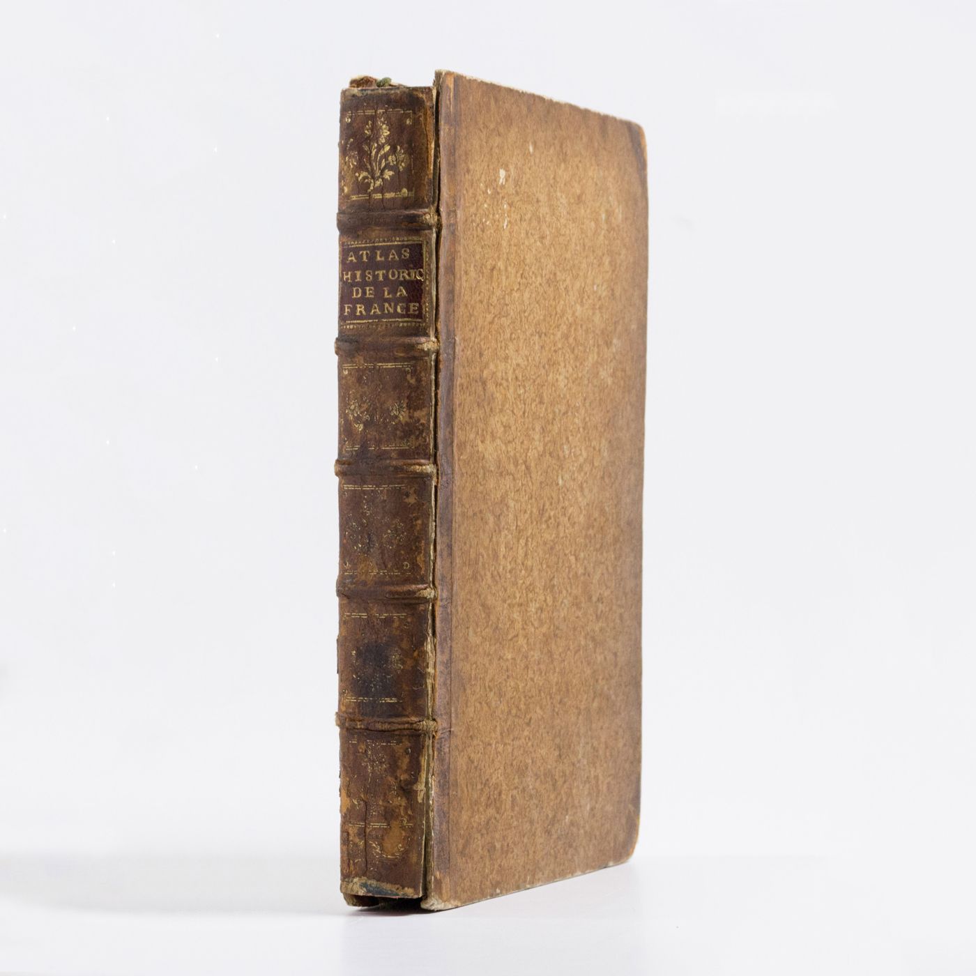
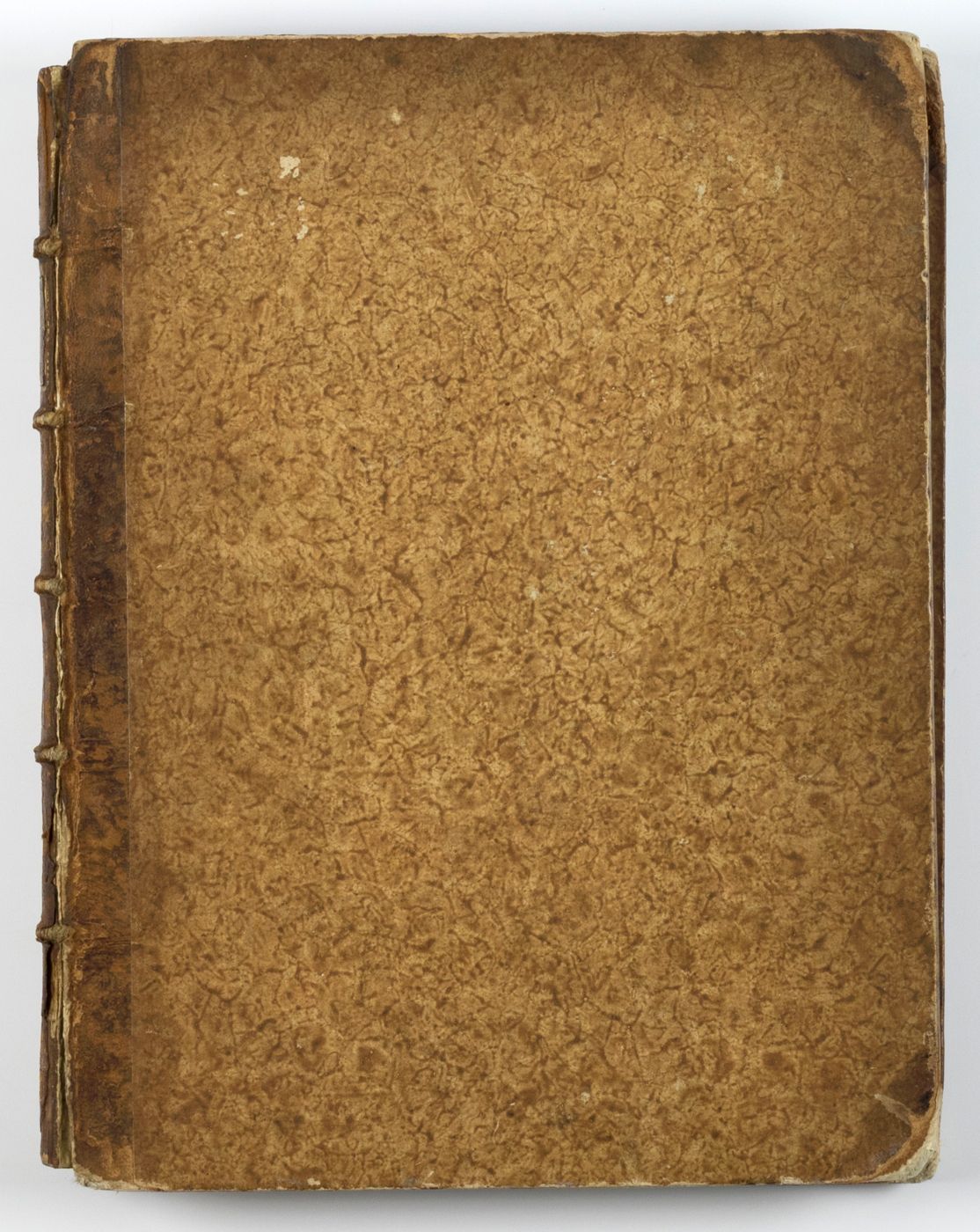
Paris, S. Desnos, 1782. Large 4to (28.8 x 22.2 cm). Beautifully engraved double-sized title page; similar folding dedication page (by Desnos and Zannoni), 16 pp.; 59 hand-coloured engraved maps (56 double-sized with ornamental borders; two much larger, of which one dated 1774, and the other 1776). Contemporary half calf over marbled boards. Spine with five raised bands; compartments with gilt floral patterns and red morocco label with gilt title. Edges red.
The cartographer Giovanni Antonio Bartolomeo Rizzi Zannoni (1736-1814) is best known for his atlases of Italy, Sicily, and Poland. This publication however, is one of his finest and the only one with a strong historical component. The preface is dated 1762; the extra large and detailed folding map with "des routes les plus fréquentées du royaume, utile aux commerçans et voyageurs" is dated 1774. It places Nice and the Savoy just outside France; the last map, dated 1776, shows Roman "Gaule", stretching all the way to the mouth of the Rhine and halfway to Switzerland. A peculiar map of western and Central Europe shows all the places and dates of treaties involving France. There is also an interesting map of the world (i.e., from the Americas to Madagascar and India) showing all French colonies as of 1764. Spine and corners rubbed. The text calls for 60 plates, but this must be an error. This copy has the following plate numbers (many used double) 47 [=2], 3, 4, 5, 6, 7, 7, 8, 8, 9, 9, 10, 10, 11, 11, 12, 12, 13, 13, 14, 14, 15, 15, 16, 16, 17, 17, 18, 18, 19, 19, 20, 20, 21, 21, 22, 22, 23, 23, 24, 24, 25, 25, 26, 26, 27, 27, 28, 28, 29, 29, 30, 30, 31, 32, 33, 34, [1]. Apparently the first plate, the much larger, double-folded "Galliae veteris" (see p. 3), is bound in last. It also includes the often missing, much larger (per)ultimate plate "La France divisée en toutes ses provinces". The statement on p. 16 that there should be "soixante Cartes" is incorrect. A complete copy, like this one, has 58 maps. Apparently, "cartes" include the double-sized and mounted title page and dedication page, which are both on the same, thicker paper, and mounted in the same way as the true maps. Provenance: on the front pastedown the armorial bookplate of the Flemish Kerchove family ("Endurer pour durer"), and the letters "K. O." - probably Oswald Charles Eugène Marie Ghislain de Kerchove de Denterghem (1844-1906) - a Belgian liberal politician; as well as a simple bookplate of "Downing Library", and the handwritten name "D. Pennant". David Pennant was the father of the well-known British naturalist Thomas Pennant (1726-1798), a friend of Linnaeus and writer of such works as British Zoology, The History of Quadrupeds, Arctic Zoology, and Indian Zoology. Pennant was born at his father's estate, Downing Hall, near Whitford, Flintshire. Plates and text generally very clean, colouring bright. In all, a very good, complete copy of this rarest of Zanonni's atlases.


