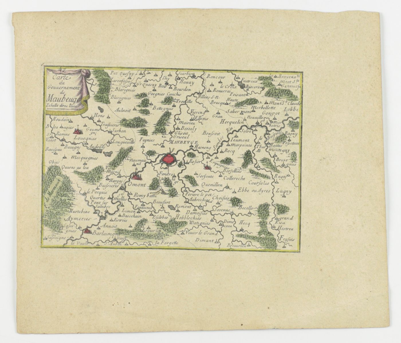
![Maubeuge. Carte du Gouvernement de Maubeuge [Map of the Gouvernement of Maubeuge].](https://schierenberg.nl/media/cache/product_main/64201/64201_x.jpg)
Pontault, S. de
Maubeuge. Carte du Gouvernement de Maubeuge [Map of the Gouvernement of Maubeuge].
No date [but 1694]. Single leaf of laid paper, ca. 21.5 x 18.5 cm, with engraved, contemporary hand-coloured map of 15.0 x 11.5 cm.
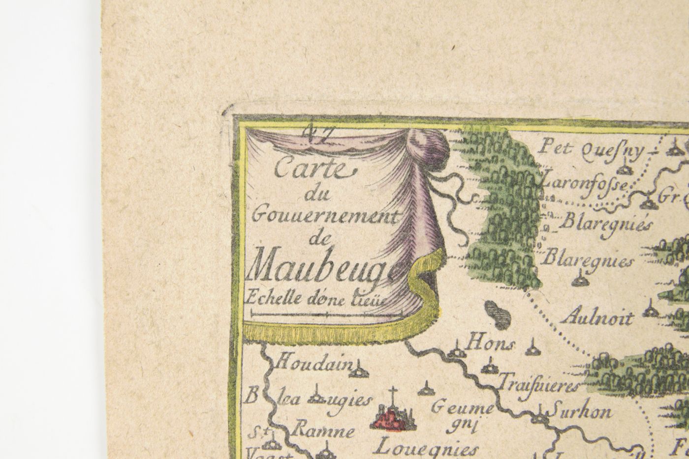
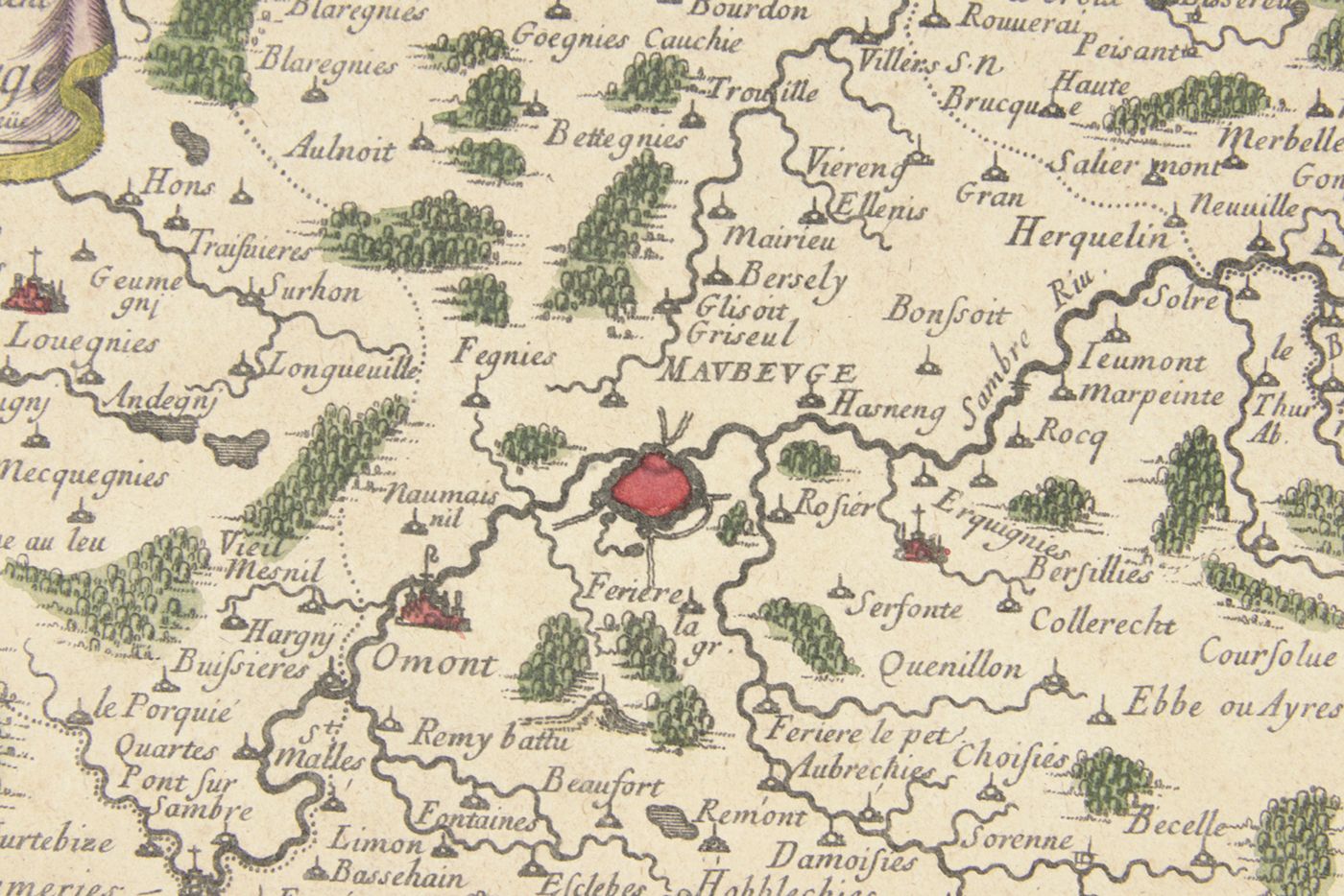
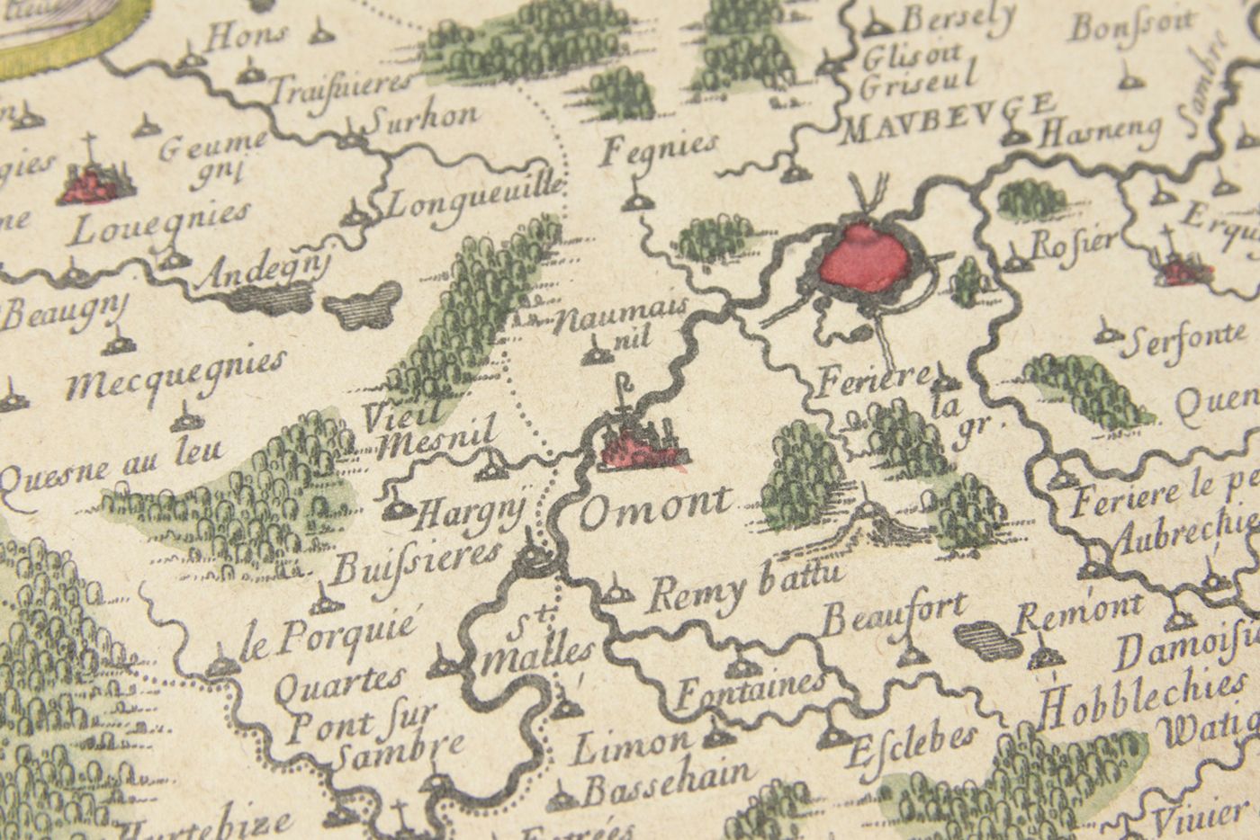
A map of the town of Maubeuge in northern France, adjacent to the Belgian border, and surrounding villages, forests, rivers, etc. in an area of approximately 40 by 30 kilometers, from Houdain to Brayeux in the North, and from Sassaigne to Frasies in the South, and including, e.g., Herquelin [Erquelinnes, Belgium], Omont [Hautmont], and Barlaimont [Berlaimont]. This map was printed for Sebastien de Pontault's Les Plans et Profils des principales Villes et lieux considerables du Comté de Flandre. Avec les cartes generales et les particulieres de chaque gouvernement. Avec les cartes générales et les particulières de chaque gouvernement. Paper a bit age-toned, otherwise a very good, wide-margined copy.

![image for Maubeuge. Carte du Gouvernement de Maubeuge [Map of the Gouvernement of Maubeuge].](https://schierenberg.nl/media/cache/product_thumb/64201/64201_x.jpg)

