Allemann, F.
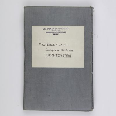
Geologische Karte Fürstentum Liechtenstein.
[Vaduz], Regierung des Fürstentums Liechtenstein, 1953. Large (102.0 x 67.0 cm), folded map, consisting of 25 rectangular sheets in full colour, mounted on linen. Handwritten and stamped label on the front-facing part of the linen map verso.
The only recent geological map of this small part of the Alps, along the River Rhine. Liechtenstein, sandwiched between Switzerland and Austria, is the fifth smallest nation on earth. The main map, which includes a full-colour coat of arms of Liechtenstein, is on a scale 1: 25,000, so every individual building is included. The Swiss geologist and topographer Franz Allemann (1922-2011) compiled and drew the map, based on data collected by himself and two co-workers under the supervision of Prof. Dr. Joos Cadisch. Two smaller maps are included, one of which being a tectonic review. Stamp of a previous owner in the top right corner, otherwise a very good, clean copy.

![image for Geognostische Karte von Württemberg [AND] Begleitworte zur geognostischen Specialkarte von Württemberg.](https://schierenberg.nl/media/cache/product_thumb/28715/28715.jpg)
![image for Mission au Tibesti (1930-1931) dirigée par M. Dalloni. I-II. [Complete].](https://schierenberg.nl/media/cache/product_thumb/13269/13269_x.jpg)
![image for Les époques géologiques de l'Auvergne. Avec 170 planches ou figures, dont plusieurs coloriées et des autographes de Dolomieu, d'Hauy & de De Saussure et un dessin fac simile de Madame Necker de Saussure. I-V. [Complete].](https://schierenberg.nl/media/cache/product_thumb/66656/66656.jpg)
![image for Report on the scientific results of the voyage of H.M.S. Challenger during the years 1873-76 under the command of captain George S. Nares, R.N., F.R.S. and the late captain Frank Tourle Thomson, R.N. prepared under the superintendence of the late Sir C. Wyville Thomson, Knt., F.R.S., &c. and now of John Murray. Volumes I - II. Narrative of the Cruise. [The complete narrative].](https://schierenberg.nl/media/cache/product_thumb/50255/50255_x.jpg)
