![Iles Taïti. Esquisse historique et géographique précédée de considérations générales sur la colonisation française dans l'Océanie. Première Partie - Deuxième Partie. [Complete].](https://schierenberg.nl/media/cache/product_main/70847/70847_x.jpg)
Vincendon-Dumoulin, [C. A.] and C. [L. F.] Desgraz
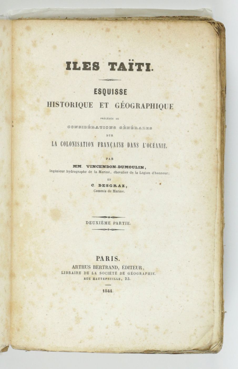
Iles Taïti. Esquisse historique et géographique précédée de considérations générales sur la colonisation française dans l'Océanie. Première Partie - Deuxième Partie. [Complete].
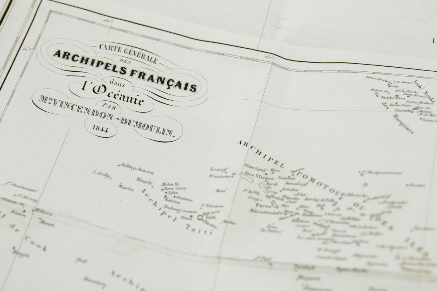
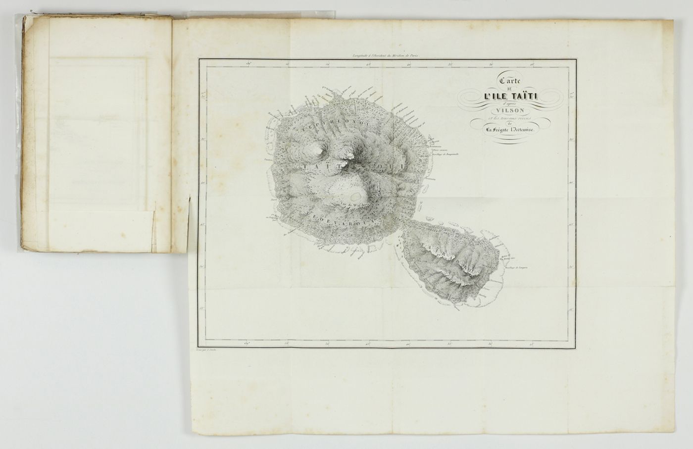
Paris, Arthus Bertrand, 1844. In two parts. 8vo (21.5 x 14.1 cm). Half-titles, title pages, 1056 pp. (pagination continuous); two large, engraved maps. Original uniform, printed wrappers.
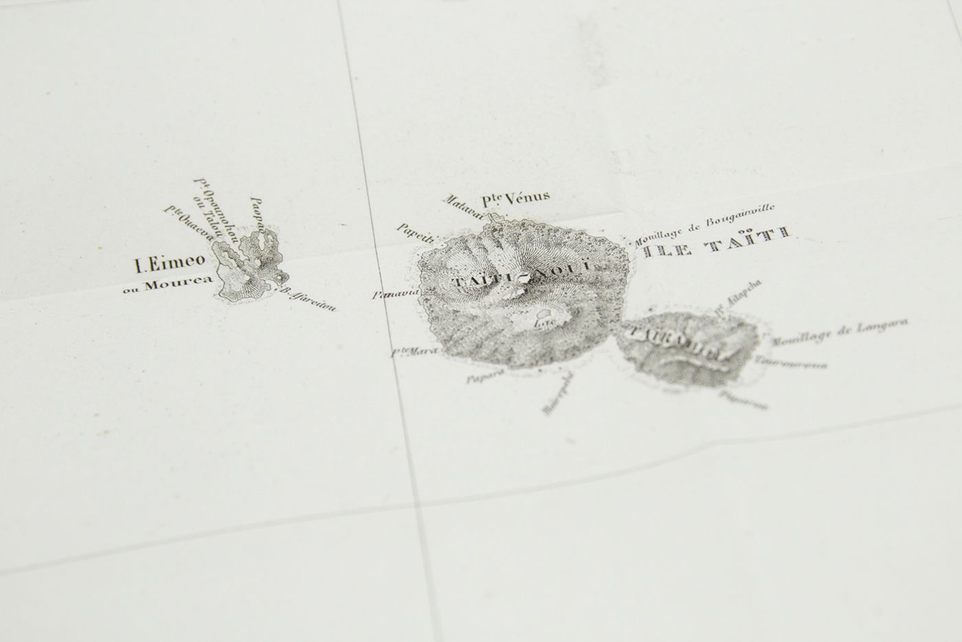
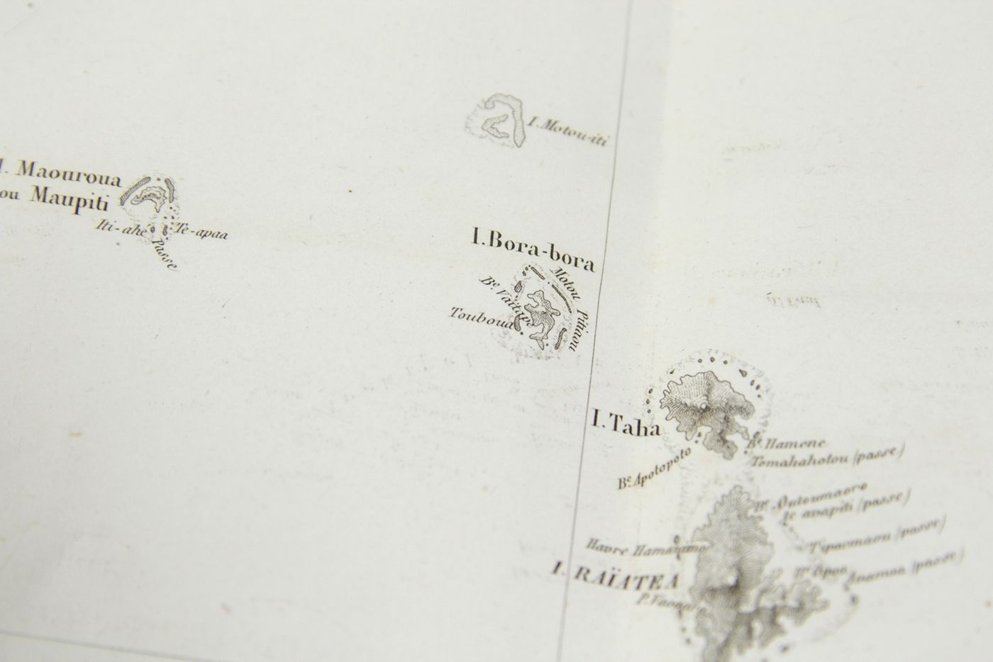
Clément Adrien Vincendon-Dumoulin (1811-1858) was a hydrographic engineer with the French Navy. He took part in the voyages of the Astrolabe under the command of Dumont d'Urville, exploring the southern seas, during which he was the chief hydrographer. He made the first calculation of magnetic inclination, thus enabling the magnetic South Pole to be located. He was also the first to draw a map of the Antarctic Terre Adélie (1840). The Dumont d'Urville expedition (1837-1840) touched several islands in the South Pacific, and Vincendon-Dumoulin kept on publishing facts about these islands and their inhabitants. This is his masterpiece on Tahiti, written jointly with César Louis François Desgraz (1816-1865), secretary to Dumont d'Orville on board the Astrolabe, and allegedly the only person who could read the latter's handwriting. Uncut. Edges a bit frayed. Front wrapper to first part detached; scattered light spotting throughout, maps, however, mostly clean. A very good, complete copy of this rare work. Especially rare with the original wrappers. O'Reilly and Reitman, Bibliographie de Tahiti, 6271.

![image for Iles Taïti. Esquisse historique et géographique précédée de considérations générales sur la colonisation française dans l'Océanie. Première Partie - Deuxième Partie. [Complete].](https://schierenberg.nl/media/cache/product_thumb/70847/70847_x.jpg)

