Enouy, J.
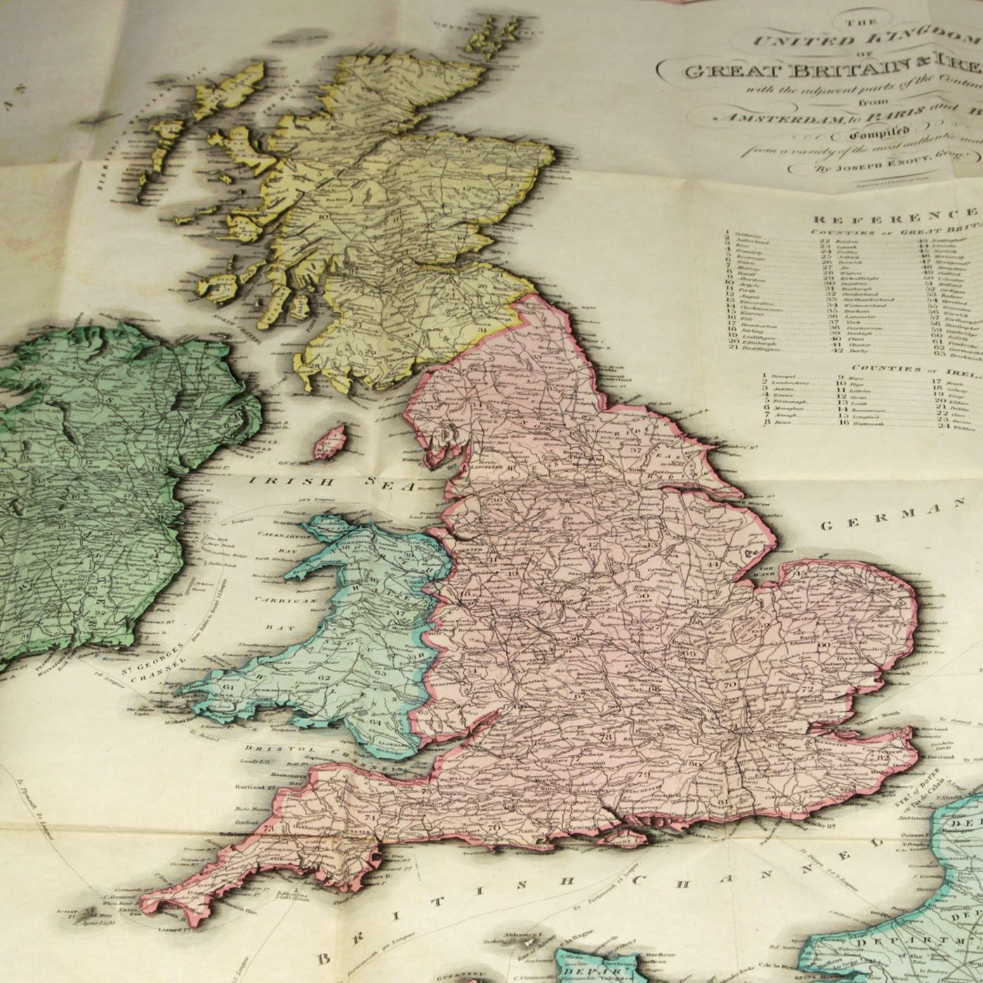
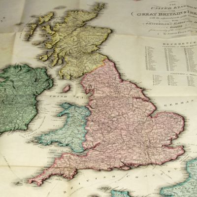
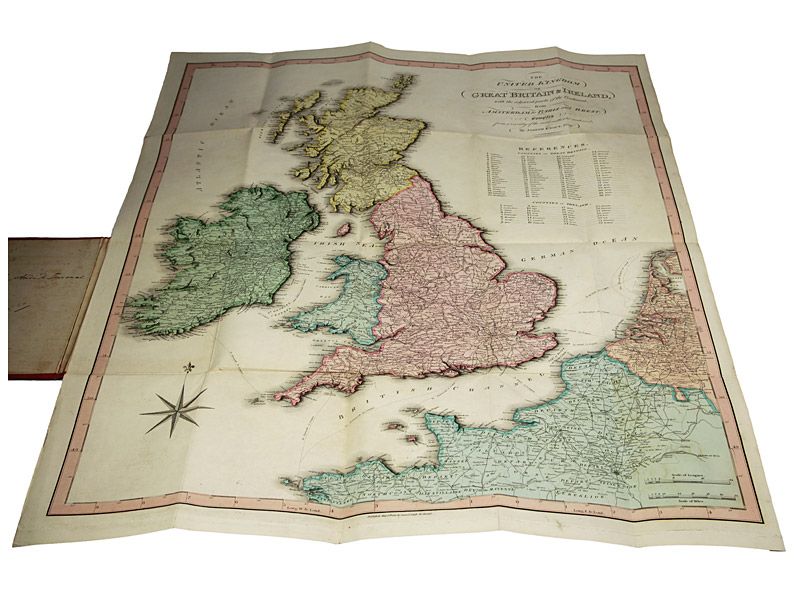
The United Kingdom of Great Britain & Ireland, with the adjacent parts of the Continent, from Amsterdam to Paris and Brest, compiled from a variety of the most authentic materials.
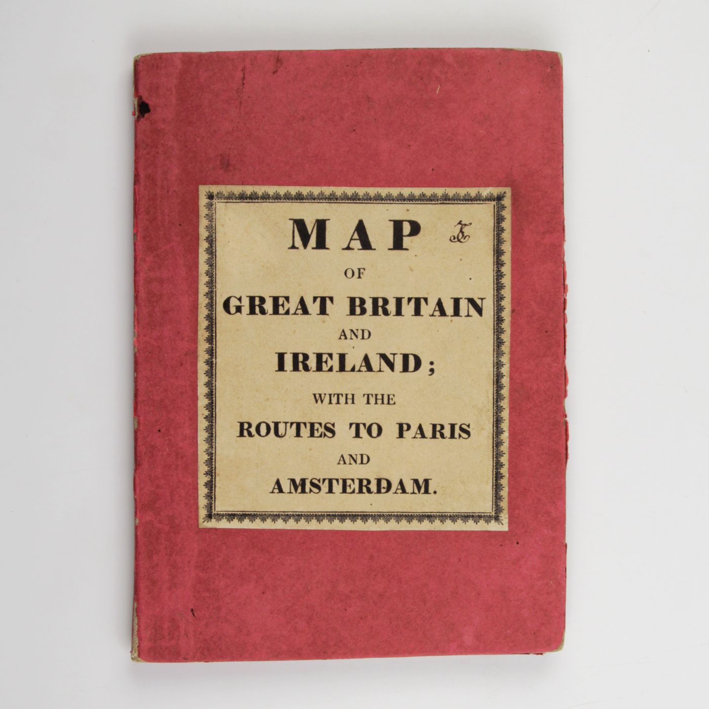
London, Samuel Leigh, 1818. Large, folded, coloured map (62.7 x 75.3 cm) of Great Britain and Ireland, and the continental coasts of the Channel and North Sea. In original reddish paper-covered boards, with printed label mounted.
Large folding hand-coloured engraved map, by Joseph Enouy, and engraved by S. I. Neele & G. Neele. The geographer and cartographer Joseph Enouy is also known for his maps of Ireland, Africa and the Middle East. This detailed map includes the United Kingdom and Ireland in their entirety, as well as the northern parts of Brittany, Normandy, northwestern France and the Netherlands (here, Belgium and the Netherlands still forming one country). Provenance: signature of "Le Comte Andre de Turenne". Some light rubbing to boards, otherwise fine; the map in pristine condition. Extremely rare. Not in the British Museum Catalogue of Printed Maps, Charts and Plans.
![image for [Four large plates of Helicidae (s.l.)]](https://schierenberg.nl/media/cache/product_thumb/69767/69767_x.jpg)
![image for A Monograph of British Belemnitidae. [Complete].](https://schierenberg.nl/media/cache/product_thumb/15947/15947_x.jpg)
![image for United States geological exploration of the fortieth parallel. Volume III. Mining industry by James D. Hague. With geological contributions by Clarence King. [AND] Mining Industry atlas. [COMPLETE including the nearly always missing Atlas].](https://schierenberg.nl/media/cache/product_thumb/68457/68457_x.jpg)

