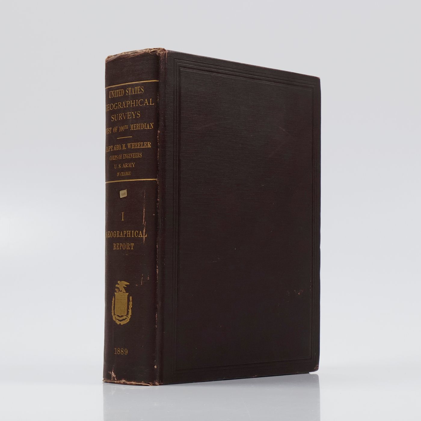
Wheeler, G. M.
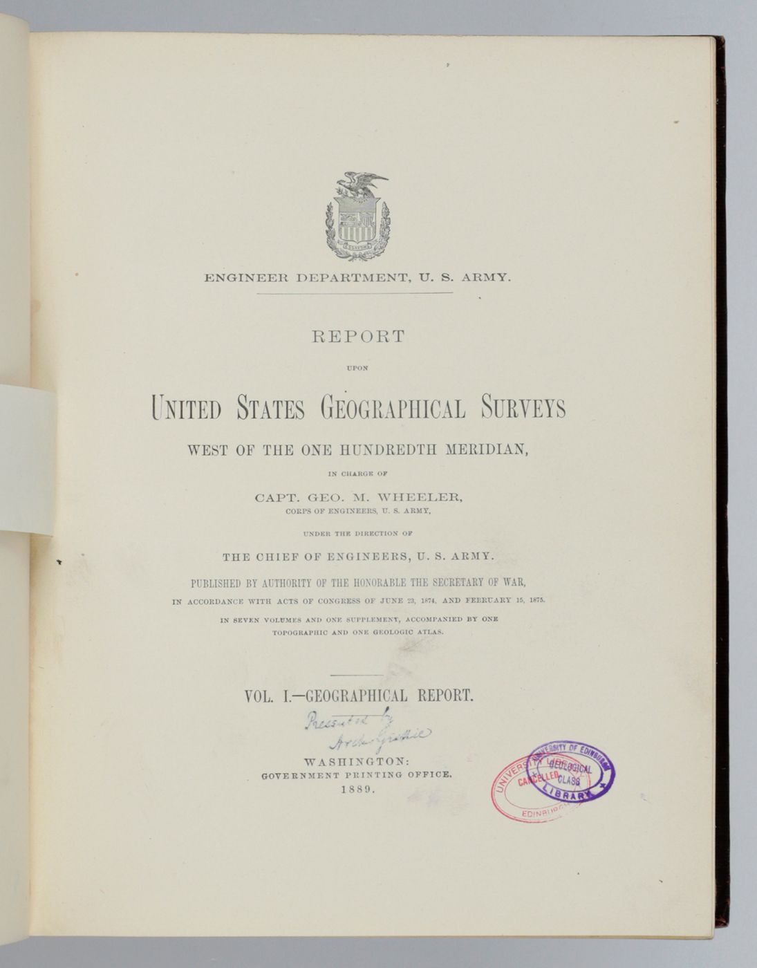
Report upon United States Geographical Surveys west of the one hundredth meridian, in charge of Capt. Geo. M. Wheeler. Vol. I. - Geographical report.
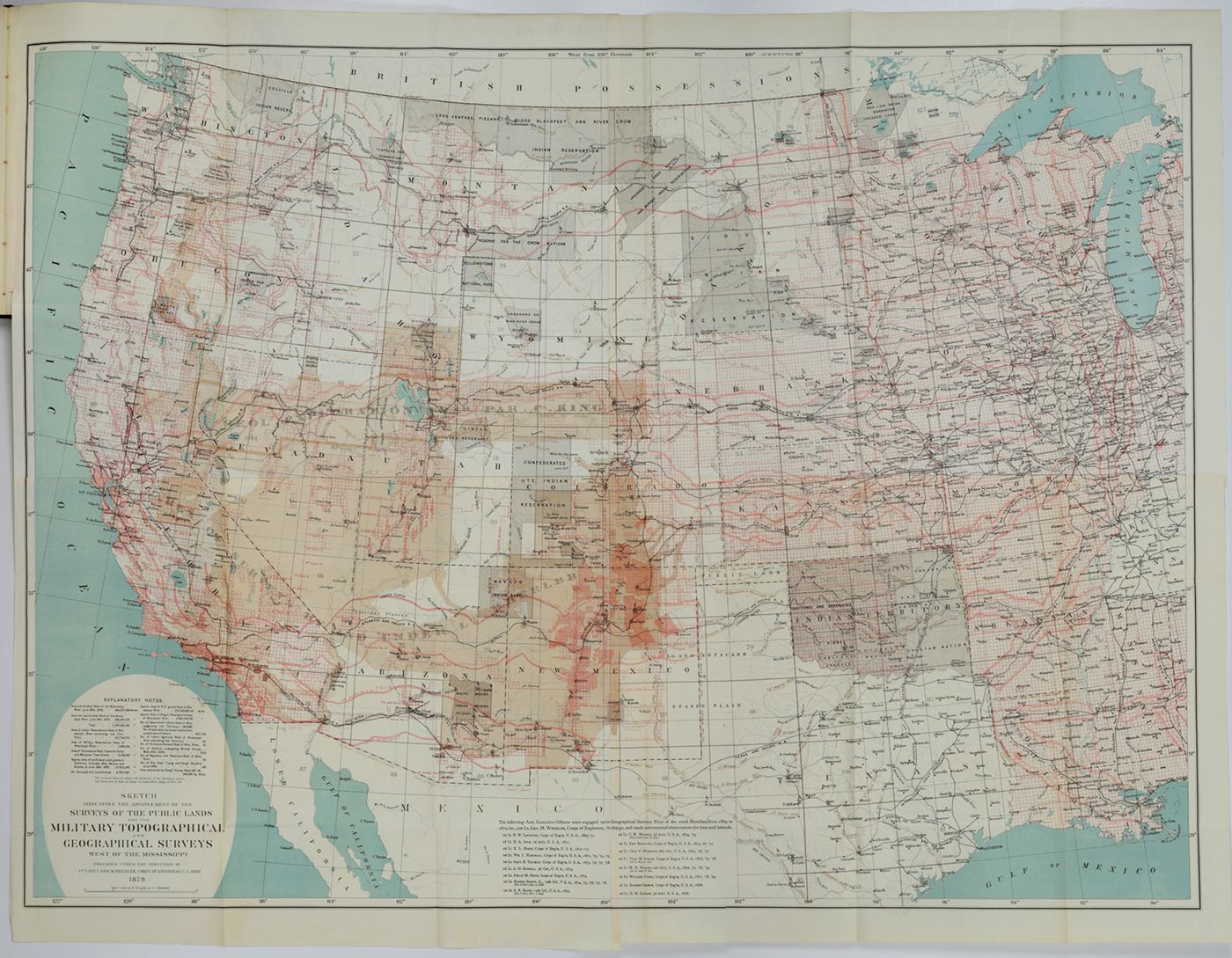
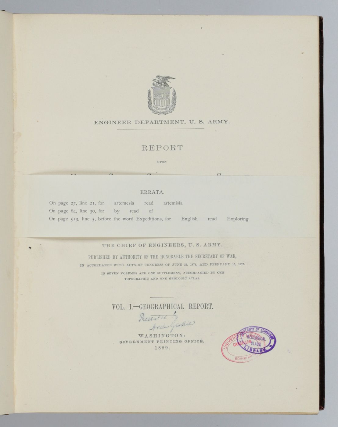
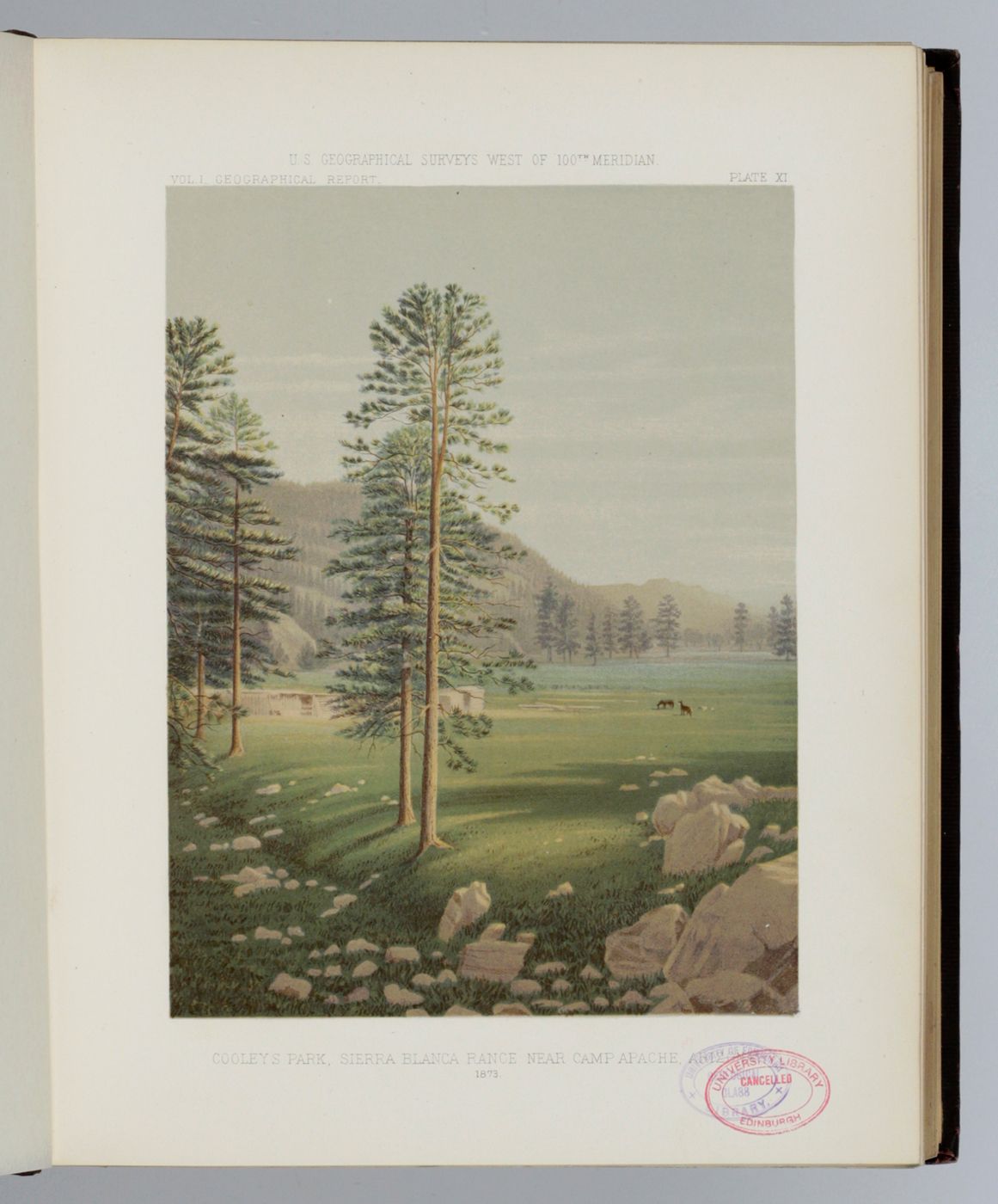
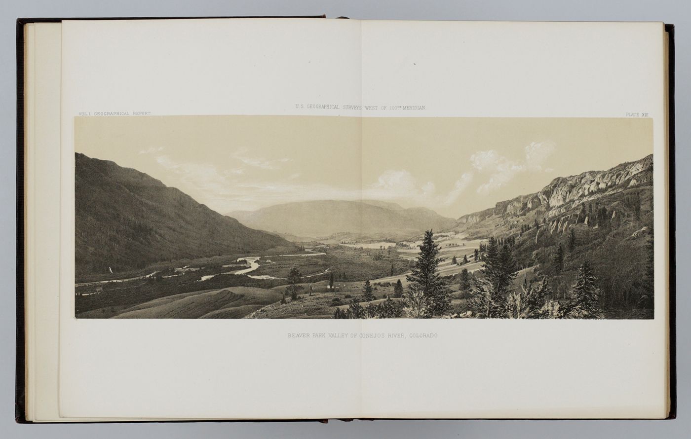
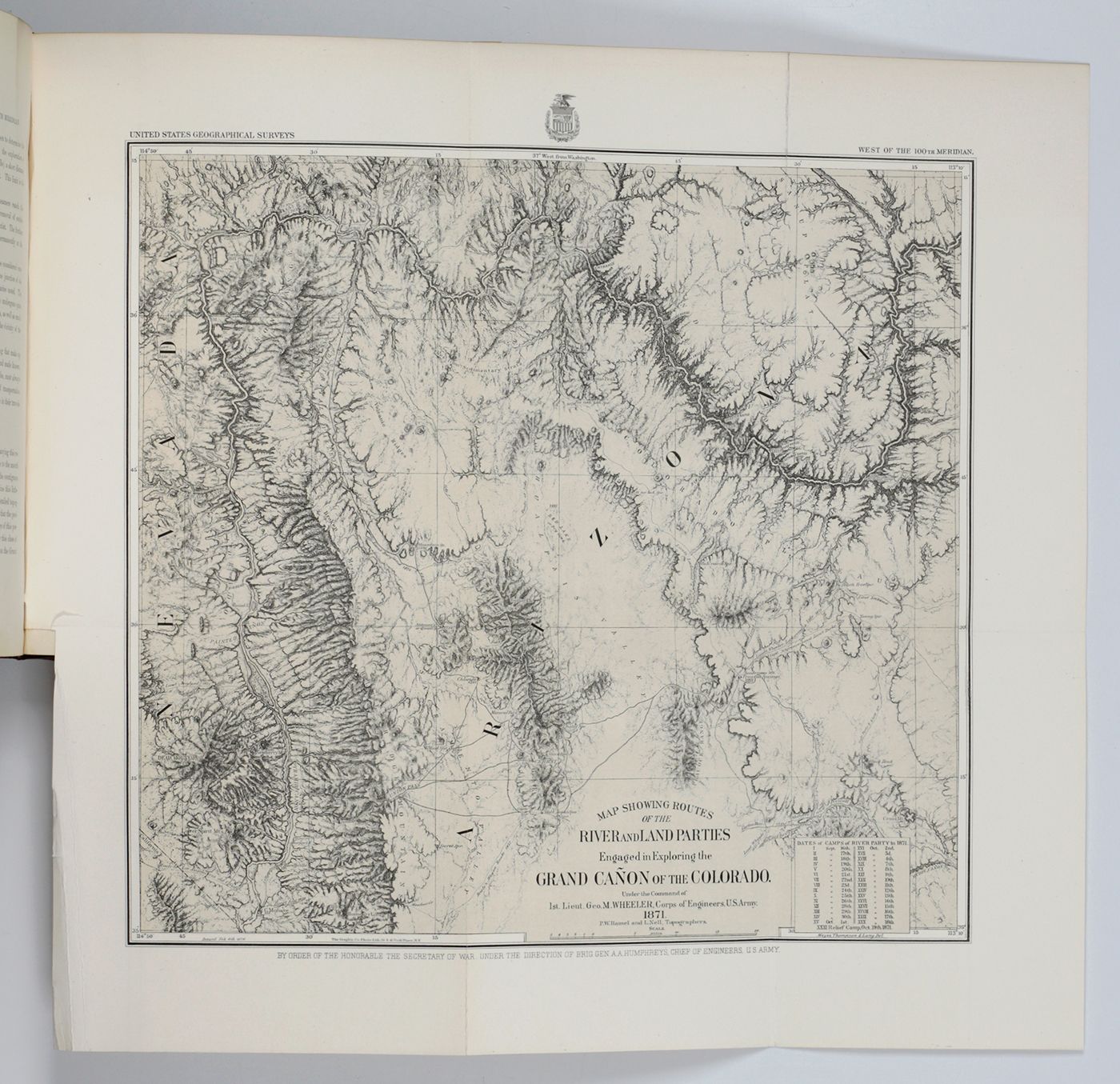
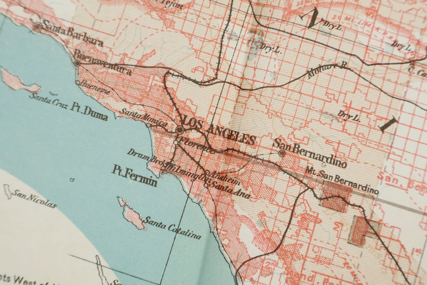
Washington, DC, Government Printing Office, 1889. Large, thick 4to (29.3 x 23.5 cm). 780 pp.; 38 fine, tinted lithographed plates (several in chromolithography, tissue-guarded), three (very) large folded maps [listed as plates I-XXXVIII and Maps 1-3]. Publisher's embossed cloth. Spine with gilt vignette and title. Printed errata slip bound in; Wheeler's printed compliments tipped in on the front pastedown.
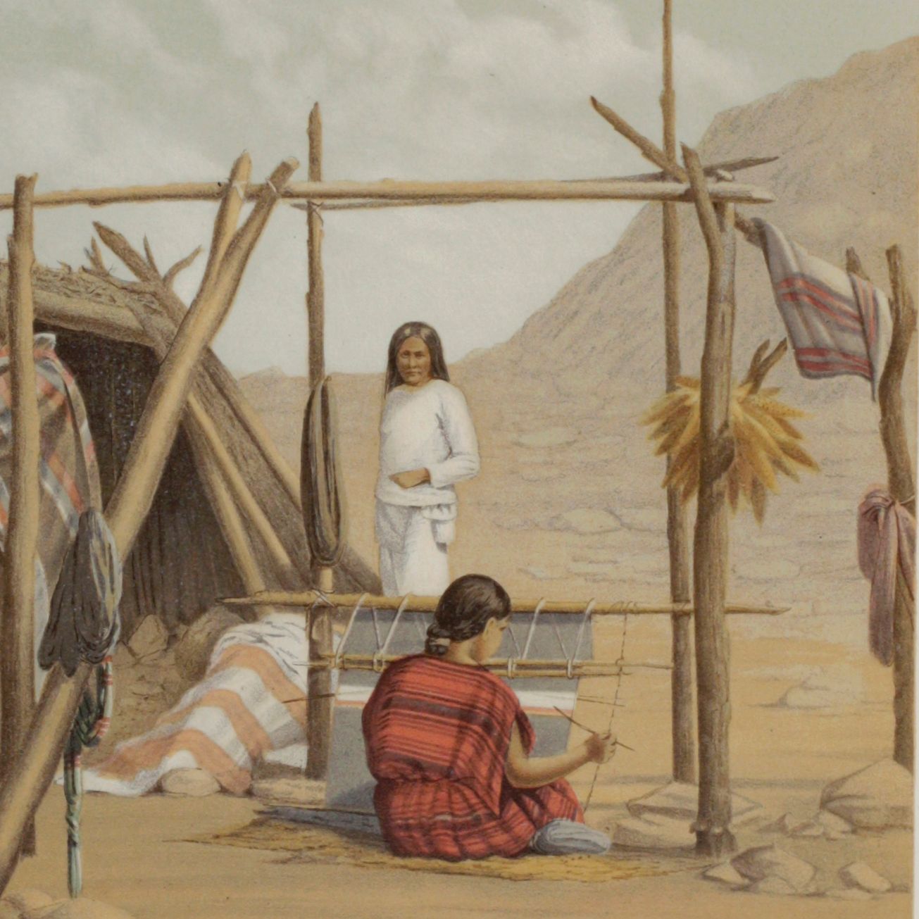
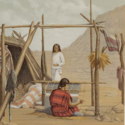
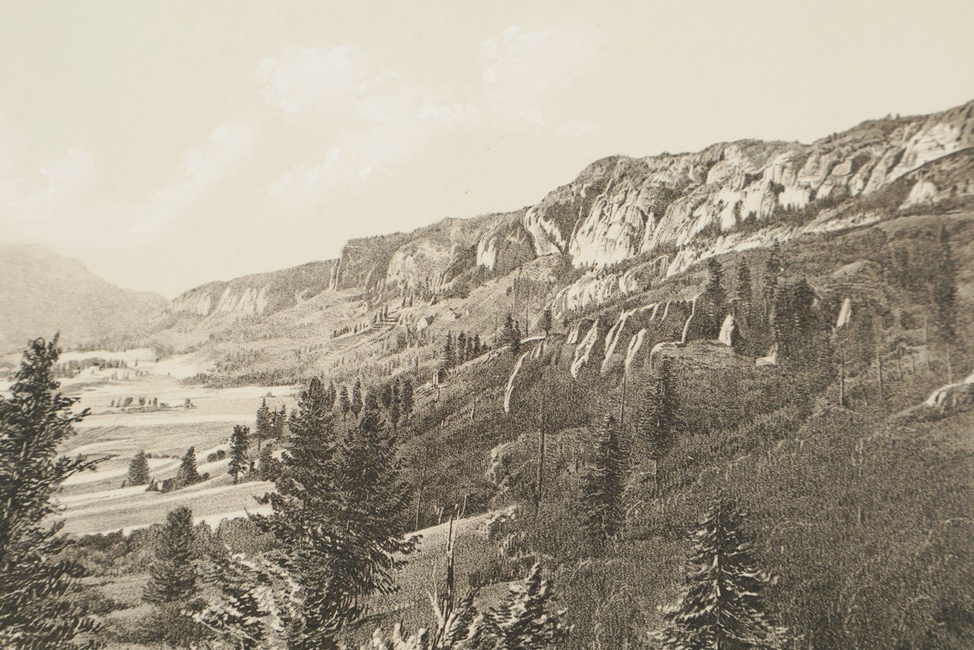
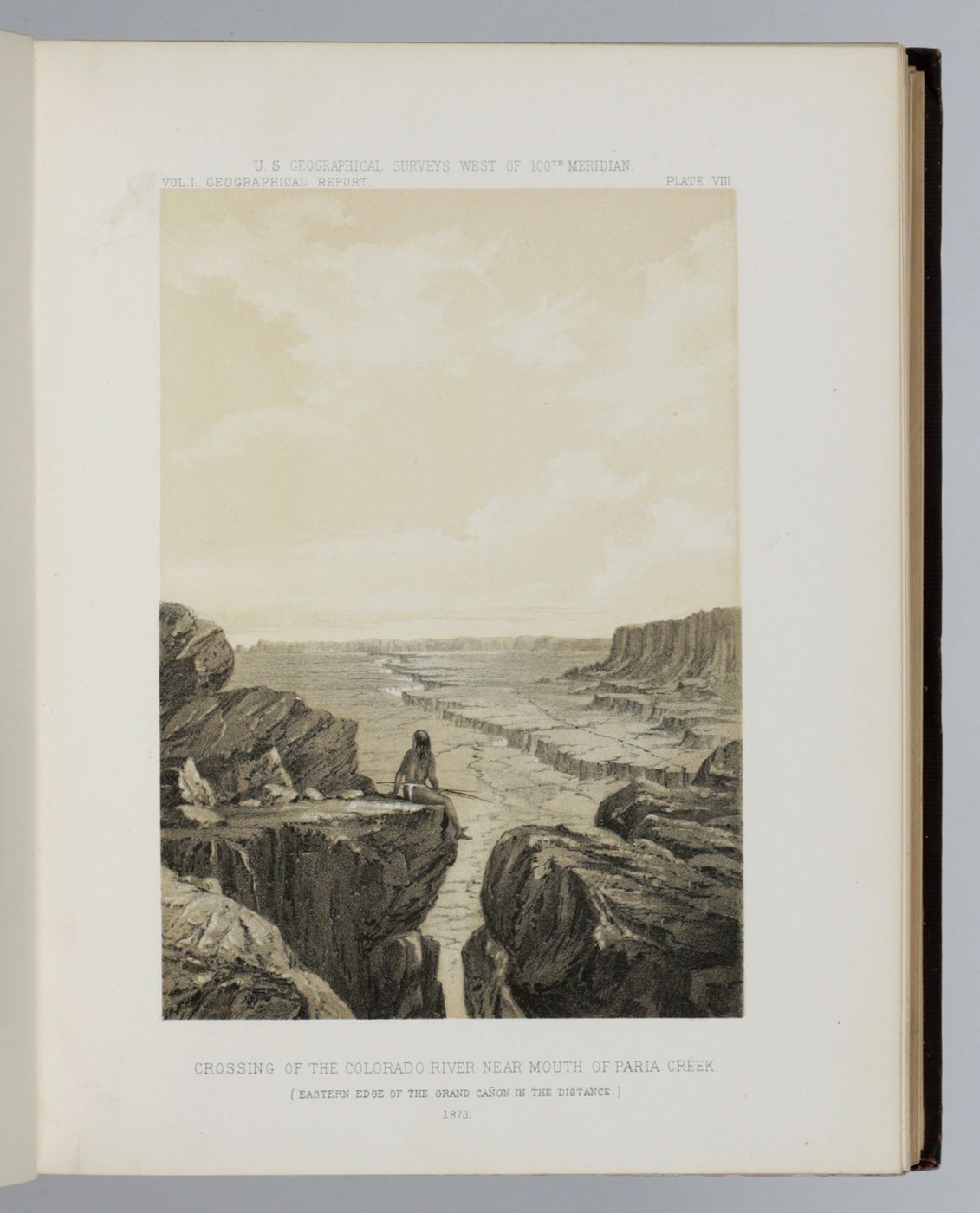
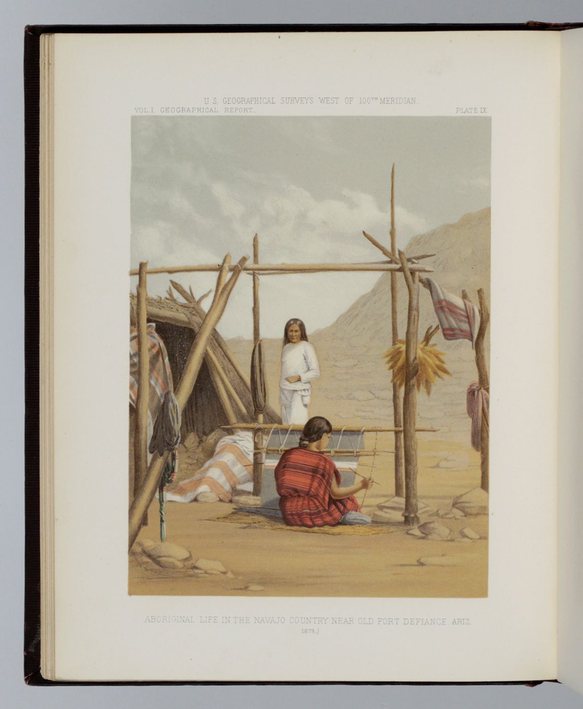
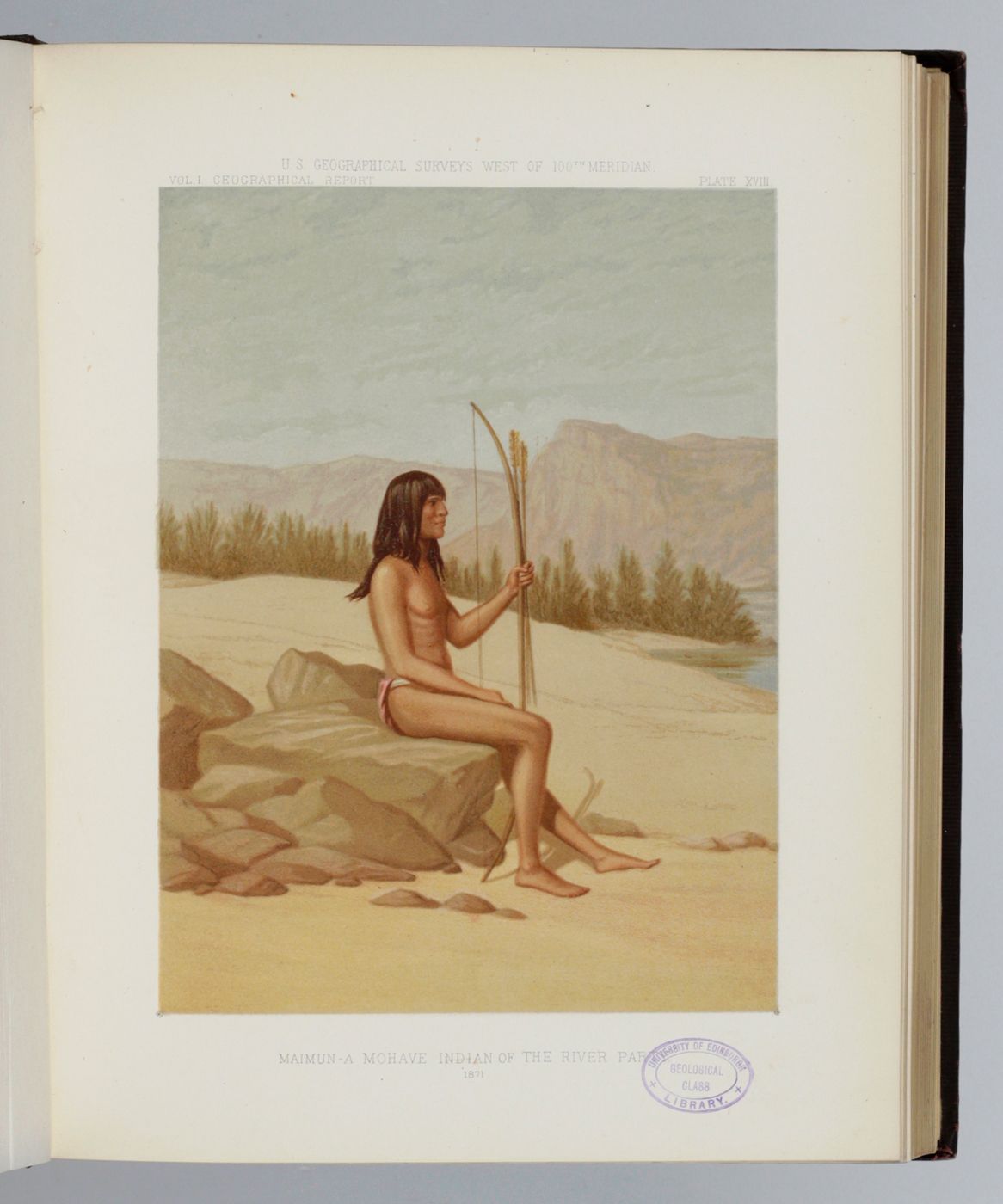
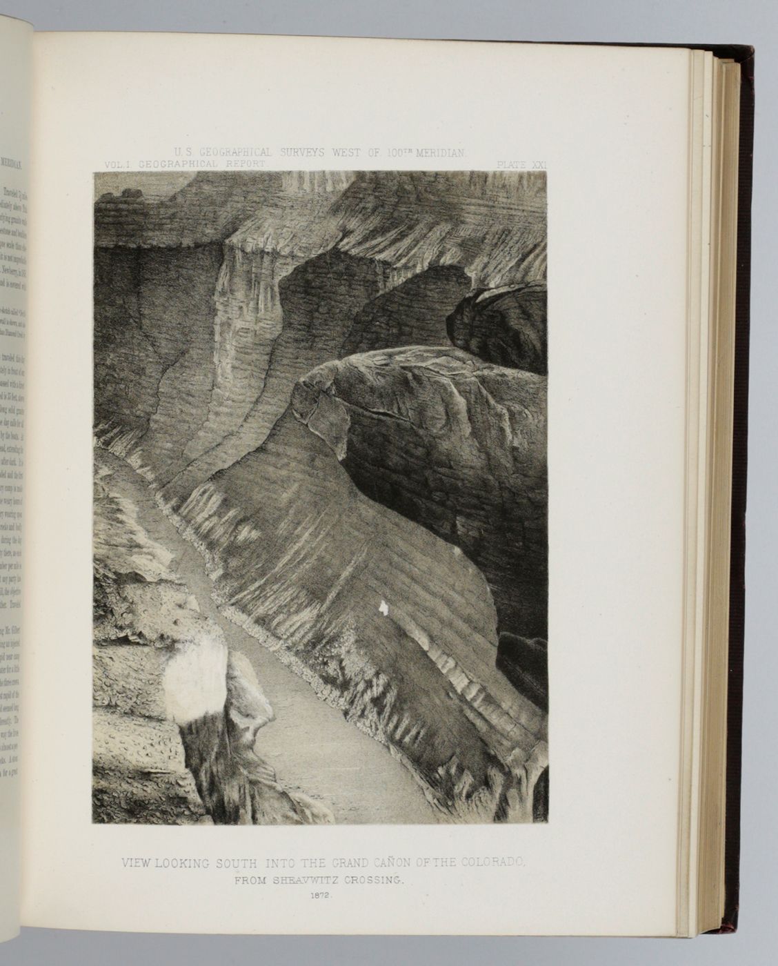
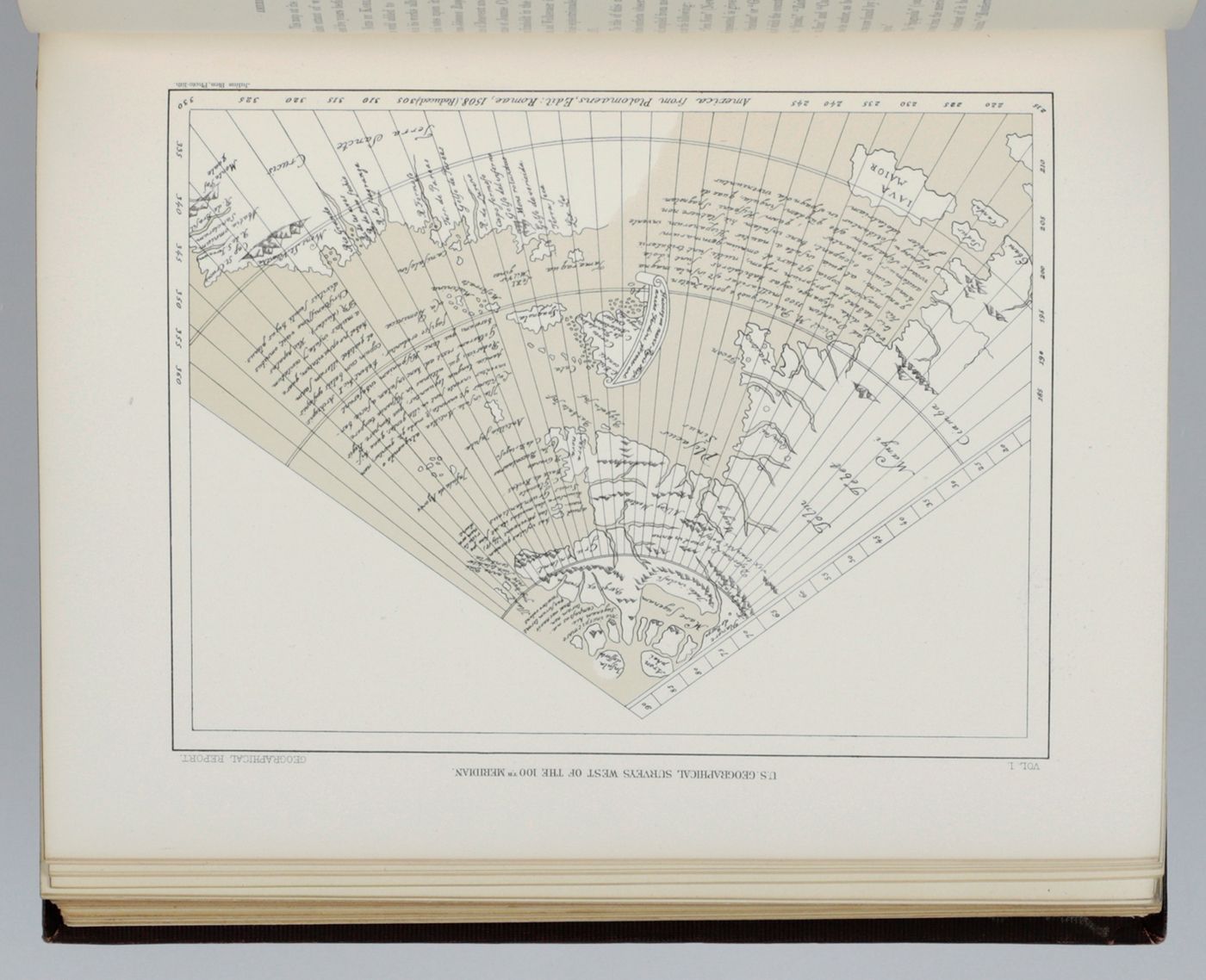
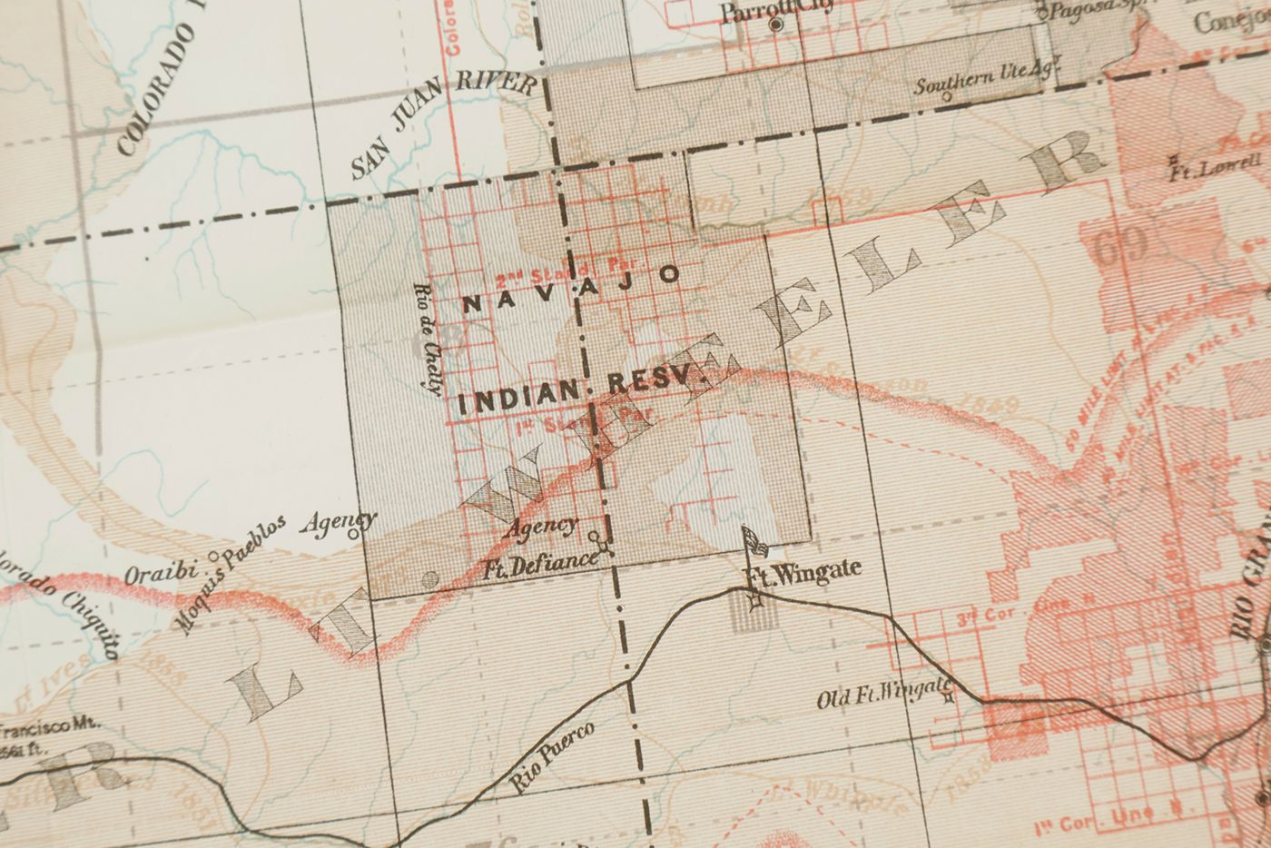
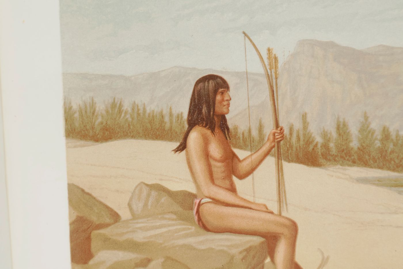
Very uncommon (rare outside the US) first report of a huge publication complete in seven volumes. But this is the only volume on the geography, with fine maps and views. Includes several amazing views such as of the scene at Mouth of Canon of the Virgin River near Shonesburg, Utah; Crossing the Colorado River near Mouth of Paria Creek; Aboriginal life in the Navajo county near old fort Defiance, Ariz. (coloured); Whitney Peak, highest of the Sierra Nevada; View looking south into the Grand Canon, etc. The several Grand Canyon views are very beautiful, as are the (often coloured) plates showing indigenous people. Quite interesting are the facsimiles of ten ancient maps of North America. Printed compliments card of the author tipped in on front pastedown. Tiny label on the spine. Cancelled stamp on title and in the margin of a few text pages and five plates (some touching the image), and on some plate versos. Otherwise a very good, clean copy. Cat. BM(NH) pp. 2174, 2305.


