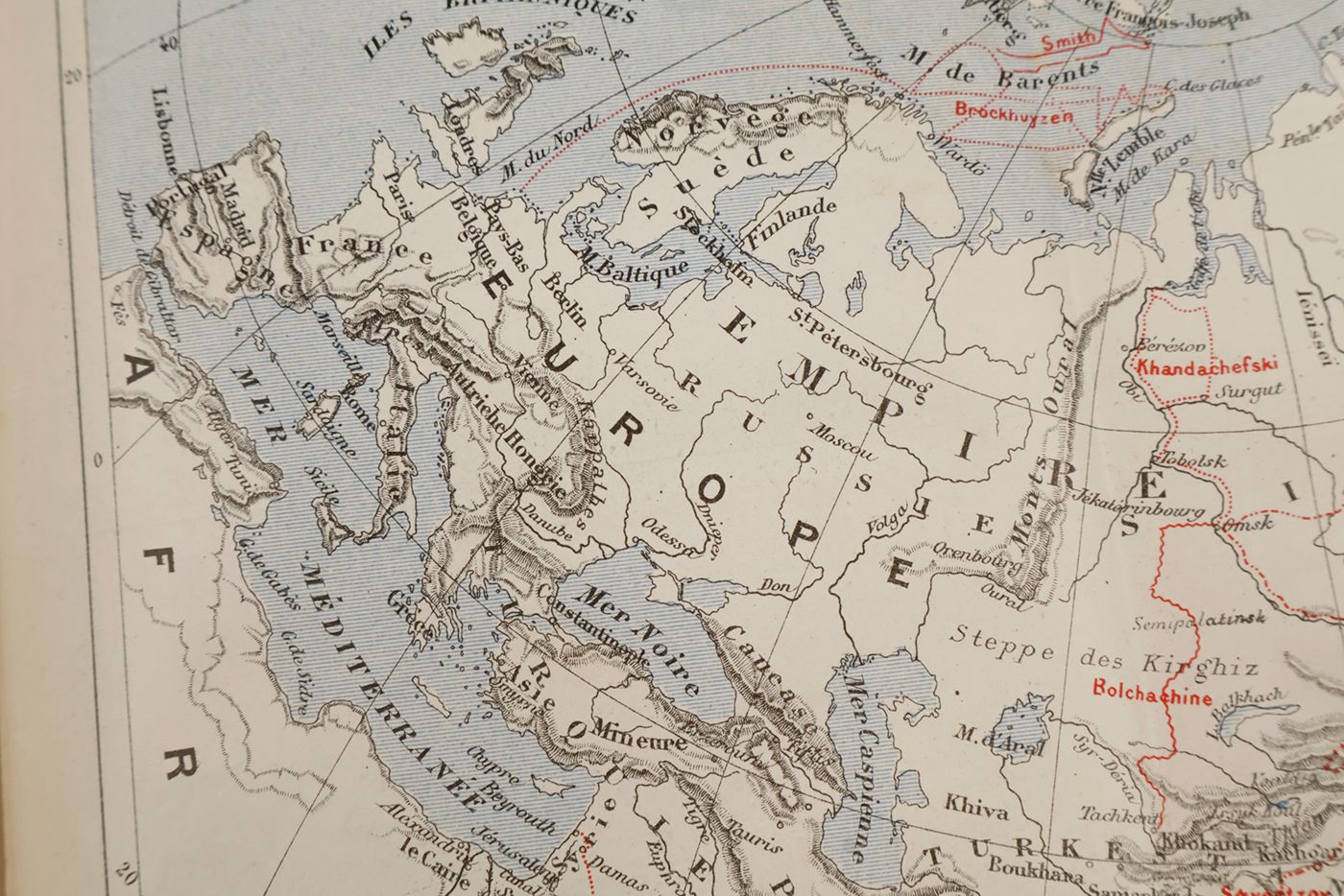
![Dernières explorations en Asie et dans les régions polaires - 1880 [AND] Dernières explorations en Afrique 1880.](https://schierenberg.nl/media/cache/product_main/79037/79037_x.jpg)
[Maps] Polar region [AND] Africa
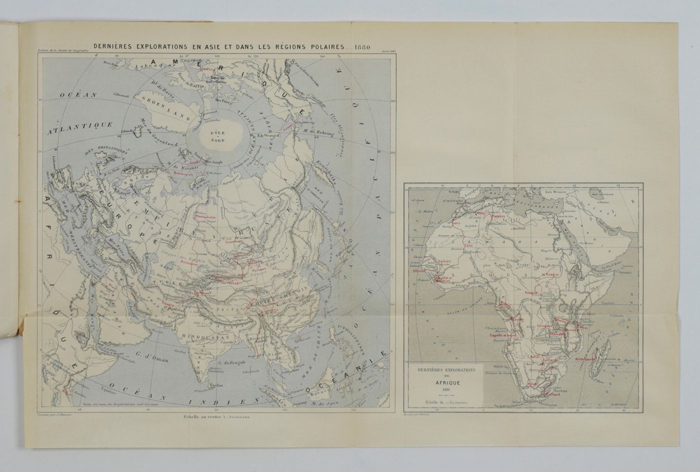
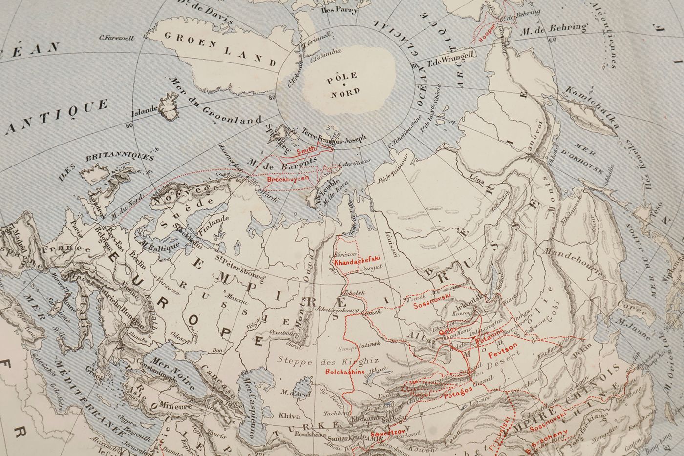
Dernières explorations en Asie et dans les régions polaires - 1880 [AND] Dernières explorations en Afrique 1880.
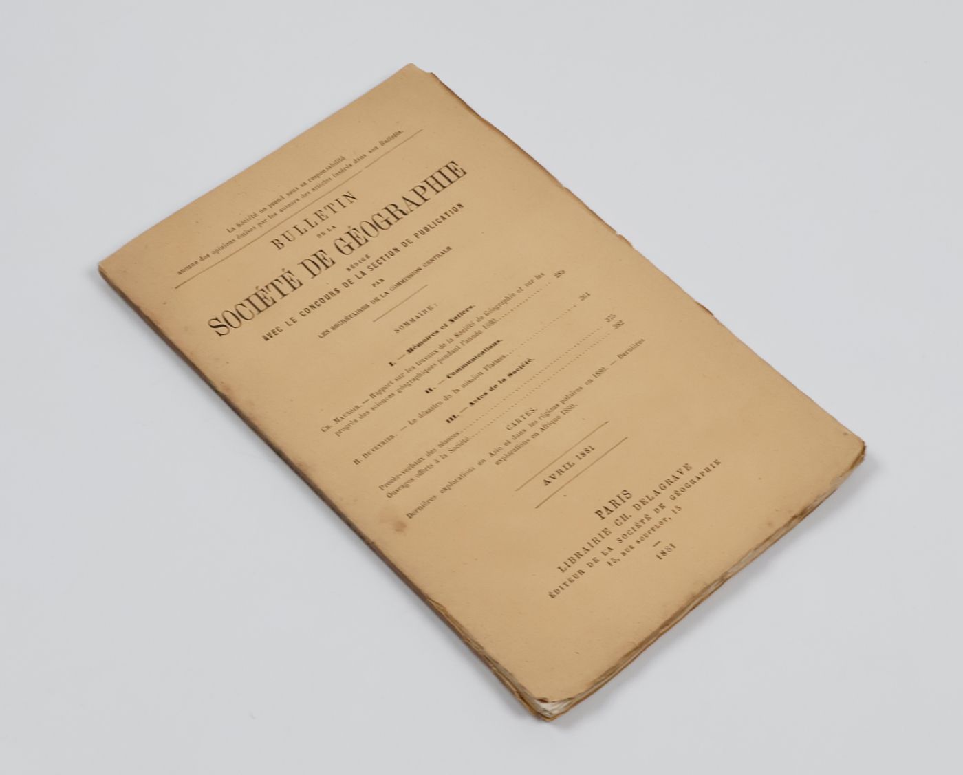
Paris, Ch. Delagrave, 1881. Two maps, printed in black, blue and red (25.7 x 25.6 cm; and 16.5 x 17.4 cm) on a single, folded sheet (46.7 x 30.3 cm). Original printed wrappers.
Two seldom-seen if not downright rare maps showing the Polar region, and Africa, indicating where the latest explorations were made, thus showing the borderline between areas known, and those still unknown, in the year 1880. Contained in the Bulletin of the Société de Géographie (Paris), together with descriptive text. Also included is an account of the disastrous Flatters expedition. Paul Flatters (1832-1881) "was a French soldier who spent a long period as a military administrator in Algeria. He is known as leader of the Flatters expedition, an ill-fated attempt to explore the route of a proposed Trans-Saharan railway from Algeria to the Sudan. Almost all members of the expedition were massacred by hostile Tuaregs. The survivors resorted to eating grass and to cannibalism on the long retreat through the desert. After a brief outburst of public indignation, the fiasco was forgotten." (French Wikipedia). The Polar map is in blue, the African map in grey. Short tear at map adhesion point; slight fraying to the uncut wrapper's edges; otherwise very good, clean and unmarked.

![image for Dernières explorations en Asie et dans les régions polaires - 1880 [AND] Dernières explorations en Afrique 1880.](https://schierenberg.nl/media/cache/product_thumb/79037/79037_x.jpg)

