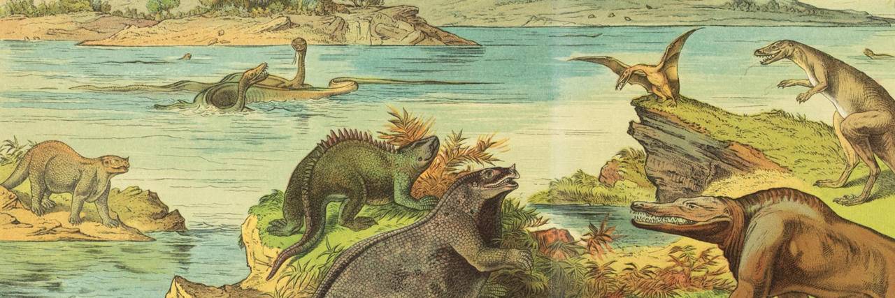
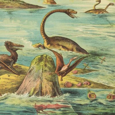
Palaeontology
90 items found
Diderot, D. and J. d'Alembert (eds.)
Encyclopédie ou dictionnaire raisonné des sciences, des arts et des métiers, par une société de gens de lettres mis en ordre par Mons. Diderot. Histoire naturelle. Règne mineral.
Paris, Diderot et d'Alembert, 1768. Folio (43.2 x 27.2 cm). 4 pp., 130 plates (partly folded). Disbound.
Read more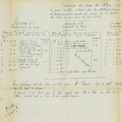
Broeck, [J.] E. van den [vanden Broeck]
Esquisse géologique et paléontologique des dépôts pliocènes des environs d'Anvers. [Author's copy - interleaved, with handwritten additions and emendations].
Bruxelles, G. Mayolez, 1876-[1878]. 8vo (25.0 x16.3 cm). 296 pp. (printed), 296 pp. (ruled, partly annotated); folded and coloured topographical map of Antwerp and surroundings and one folding table. Original printed boards.
Read more
Devèze de Chabrol, J. S. and J. B. Bouillet
Essai géologique et minéralogique sur les environs d'Issoire, département du Puy-de-Dôme, et principalement sur la Montagne de Boulade.
Clermont-Ferrand, Thibaud-Landriot, 1827. Folio (41.0 x 26.2 cm). xii, 104 pp.;hand-coloured lithographed geological map and hand-coloured profile, and 30 lithographed plates depicting vertebrates and several tables, including one very large, folded in the text. Contemporary half morocco over marbled boards. Spine with gilt lines and title. Marbled endpapers; speckled edges.
Read more
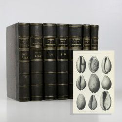
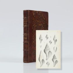
Cossmann, M.
Essais de paléoconchologie comparée. I - XIII. [Complete].
Paris, privately published, 1895-1925. 13 parts in seven. Large 8vo (26.3 x 16.7 cm). 3,296 pp.; 624 text engravings, 119 plates. Uniform contemporary half morocco over marbled boards. Spines with five gilt-lined, raised bands; and gilt title.
Read more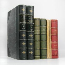
Dufrenoy, [O. P. A.] and [J. B. A. L. L.] Élie de Beaumont
Explication de la carte géologique de la France. Volumes I-IV (text and atlas), and two maps. [Complete].
Paris, Imprimerie Royale, Imprimerie Nationale, 1841-1879. Four volumes in seven, and a large map in six folded sheets, each ca. 70 x 205 cm (including borders) with linen covers. Large 4to (four text volumes; ca. 27.5 x 21.0 cm); folio (two atlas volumes, 26.8 x 35.7 cm). Tome premier: Paris, Imprimerie Royale, 1841. Large 4to. xxii, 825 pp., 71 text engravings (mainly profiles); Tome deuxième: Paris, Imprimerie Nationale, 1848. Large 4to. xii, 813 pp., 105 text engravings (mainly views and profiles), one large, folded chromolithographed geological map (finished by hand) of France (printed surface: 57 x 54 cm, and consisting of 15 smaller sections, mounted on linen and folded) bound in the rear; Tome troisième. Première partie (by Dufrénoy): Paris, Imprimerie Nationale, 1873. Large 4to. viii, 231 pp., 18 text engravings (mainly profiles). Printed wrappers. Tome quatrième. Seconde partie. Végétaux fossiles du terrain houiller (by Zeiller): Paris, Imprimerie Nationale, 1879. Large 4to. 185 pp. Printed wrappers; Tome quatrième. Atlas (in two volumes). Première partie. Fossiles principaux des terrains (by É. Bayle). Seconde partie. Végétaux fossiles du terrain houiller (by Zeiller): Paris, Imprimerie Nationale, 1878. Folio. Title page, half title to first part. 86 lithographed plates with explanatory text leaves, numbered I-LXXXVI; 90 lithographed plates with explanatory text leaves, numbered LXXXVII-CLXXVI (the last 16 on plants), for a total of 176 plates. Volumes I, II, and IV plate volumes in near uniform contemporary dark-green pebbled morocco over marbled boards. Spines with five gilt-stippled bands, and gilt title. Marbled endpapers. The text volumes with top edge gilt, atlases with marbled top edges. Text volumes III and IV in original printed wrappers. The large chromolithographed map in six sheets (approximately 218 x 223 cm) is contained in a contemporary, book-like crimson box with gilt-lettered spine, with raised bands and patterned paper sides.
Read more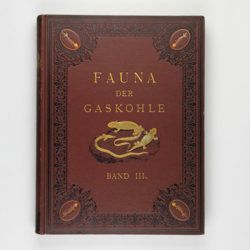
Fritsch, A.
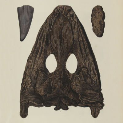
Fauna der Gaskohle und der Kalksteine der Permformation Böhmens. Band I-IV. [Complete].
Prag, Selbstverlag and F. Řivnáč, 1879-1899 [1901?]. Four volumes in four. Folio (34.0 x 25.5 cm). 459 pp., lavishly illustrated with 167 mostly chromolithographed plates (several double-sized or larger, folded), and over 400 text engravings, of which some plate-sized. Volume I (1883): 182 pp., 48 plates (some larger, folded, a few plain), 160 text engravings; volume II (1889): 114 pp., 44 plates (several larger, folded; numbered 49-90, 80b, 81b), 79 text figures (numbered 117-188); vol. III (1895): 132 pp., 42 plates [several (much) larger; numbered 91-132], 122 text engravings (numbered 189-310); vol. IV (1901): 101 pp., full colour frontispiece, of a landscape with "Miriopoden"; 33 plates (numbered 133-165), 64 text engravings (numbered 311-394, and including phototypes of fossil animals and tracks, freshwater bivalves, and, e.g. the author at work). Original uniform brown cloth sumptuously embossed with black floral borders, and gilt vignettes depicting Permian amphibians, reptiles and fish. Marbled edges.
Read more
Conrad, T. A.
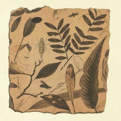
Fossils of the Tertiary formations of the United States. Illustrated by figures, drawn from nature.
Philadelphia, PA, J. Dobson, 1838. 8vo (21.1 x 15.6 cm). viii, 80, [vi] pp; 51 plates [numbered 1-32, 34-50, followed by two without number] (Plate 45 pencilled). Later half morocco over marbled boards. Spine with five raised bands, and gilt title. Marbled endpapers.
Read more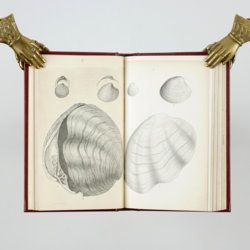
Conrad, T. A.
Fossils of the Tertiary formations of the United States. Illustrated by figures, drawn from nature. [Fossils of the Medial Tertiary of the United States 1-2; Fossils of the Miocene formation of the United States 3-[4].]
Philadelphia, PA, J. Dobson, 1838-1861. Four parts in one. 8vo (23.1 x 14.2 cm). xvi, 89 pp; 52 plates (numbered 1-32, 34-49 [Plates 3, 7, 11, and 19 in two widely different states; 24-25, 46-47 without number; 48 wrongly numbered 47, 33 not used]). 20th-century red buckram with gilt title on the spine. Original brown, printed wrappers bound in.
Read more
[Geological map]
Geognostische Karte von Württemberg [AND] Begleitworte zur geognostischen Specialkarte von Württemberg.
Stuttgart, Das Königliches Statistisch-topographisches Bureau, Kohlhammer, Kleeblatt, 1863-1892. With 54 chromolithographed folded geological maps, all mounted on linen, numbered 1-48, 50-55, in two original, uniform burgundy boxes with gilt title on the lid. [AND] the "Begleitworte" 34 parts in one. Large 8vo (25.7 x 19.5 cm). Stuttgart, Königlich Statistischen Landesambt, (1865-1892). ca. 1,000 pp., and five hand-coloured wood-engraved or lithographed maps or geological profiles, and four wood-engraved plates. Contemporary half cloth over marbled boards. Spine with gilt title, ornaments, and the Württemberg coat-of-arms; patterned endpapers, and marbled edges.
Read more
